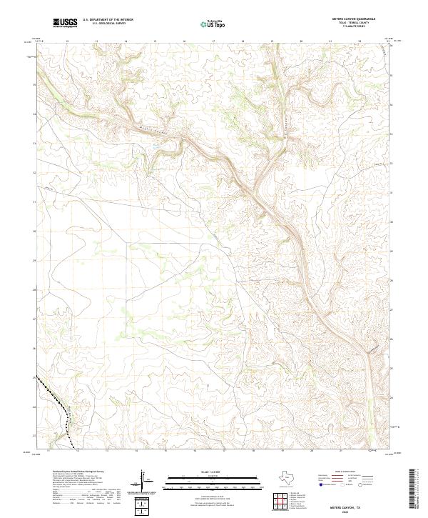
2022 Map of Meyers Canyon
USGS Topo · Published 2022About this map
Meyers Springs serves as a focal point in this arid stretch of Terrell County, where deep drainages carve through the limestone plateau. The landscape is defined by its dramatic verticality, dominated by the winding course of Meyers Canyon and its many offshoots, including the notably named Outlaw Canyon and Big Canyon. Human presence is sparse, marked primarily by ranch roads and named tracks like Bendle Rd and Chriesman Rd that follow the natural contours of the high ground between the draws. In a region where water determines the possibility of settlement, the presence of Meyers Spring suggests an vital point for both historic travelers and local livestock. The map illustrates the persistence of early land-use patterns, where infrastructure like Altgelt and Lemons Rd provide the only access through the vast network of canyons such as Thurston Canyon.
Find a feature on this map
10 named features on this map. Tap any name to fly to it.
Don’t see what you’re looking for? This feature index may not catch every label — zoom into the map to look around manually.
Map Details
Editions of this 2022 Meyers Canyon Map
This is the sole edition of this map. No revisions or reprints were ever made.
Other maps of this area

1918 · Dryden Crossing
USGS Topo · 1:62,500

1928 · Sanderson
USGS Topo · 1:125,000

1943 · Malvado
USGS Topo · 1:62,500

1944 · Malvado
USGS Topo · 1:62,500

1954 · Fort Stockton
USGS Topo · 1:250,000

1954 · Sonora
USGS Topo · 1:250,000

1958 · Sonora
USGS Topo · 1:250,000

1958 · Fort Stockton
USGS Topo · 1:250,000

1958 · Del Rio
USGS Topo · 1:250,000

1959 · Emory Peak
USGS Topo · 1:250,000