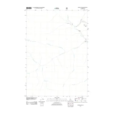
2011 Map of Meyers Cove
USGS Topo · Published 2011About this map
Meyers Cove serves as the focal point of this backcountry landscape, situated at the confluence of Camas Creek and its western tributaries. The terrain is defined by its mining history, centered on the Fluorspar Ridge area. Evidence of mineral exploration and extraction is clear through the presence of the Red Spar Mine near the mouth of Hammer Creek and the Big Lead Mine further east. These sites, along with Fluorspar Gulch, indicate a specialized industrial focus within the drainage basin.
Find a feature on this map
16 named features on this map. Tap any name to fly to it.
Don’t see what you’re looking for? This feature index may not catch every label — zoom into the map to look around manually.
Map Details
Editions of this 2011 Meyers Cove Map
This is the sole edition of this map. No revisions or reprints were ever made.
Other maps of this area

1930 · Casto
USGS Topo · 1:125,000

1956 · Twin Peaks
USGS Topo · 1:62,500

1957 · Challis
USGS Topo · 1:250,000

1960 · Challis
USGS Topo · 1:250,000

1963 · Challis
USGS Topo · 1:250,000

1963 · Meyers Cove
USGS Topo · 1:24,000

1963 · Rock Creek
USGS Topo · 1:24,000
1963 · Aparejo Point
USGS Topo · 1:24,000
1963 · Yellowjacket
USGS Topo · 1:24,000
1963 · Duck Creek Point
USGS Topo · 1:24,000