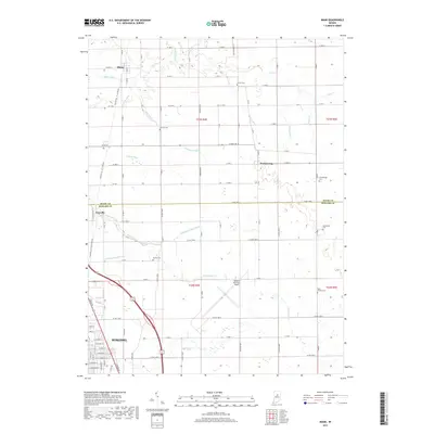
2019 Map of Miami
USGS Topo · Published 2019About this map
The northern reaches of Kokomo and the surrounding agricultural landscape define this transition between Howard and Miami counties. The map captures a region deeply influenced by its water drainage network, where the S Fork Deer Cr and numerous engineered waterways like Matthew-Anaker Ditch and Grinslade Ditch facilitate the intensive farming of the Indiana till plain. Small settlements such as Miami and Cassville serve as local anchors, while the Kokomo Municipal Airport marks a modern utility amidst the traditional section-line road grid.
Find a feature on this map
99 named features on this map. Tap any name to fly to it.
Don’t see what you’re looking for? This feature index may not catch every label — zoom into the map to look around manually.
Map Details
Editions of this 2019 Miami Map
This is the sole edition of this map. No revisions or reprints were ever made.
Other maps of this area

1951 · Onward
USGS Topo · 1:24,000

1951 · Bunker Hill
USGS Topo · 1:24,000

1953 · Peoria
USGS Topo · 1:24,000

1953 · Danville
USGS Topo · 1:250,000

1953 · Muncie
USGS Topo · 1:250,000

1955 · Danville
USGS Topo · 1:250,000

1956 · Muncie
USGS Topo · 1:250,000

1956 · Danville
USGS Topo · 1:250,000

1959 · Galveston
USGS Topo · 1:24,000

1959 · Miami
USGS Topo · 1:24,000