2022 Map of Miami
USGS Topo · Published 2022About this map
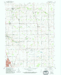
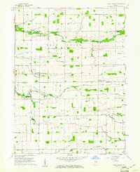
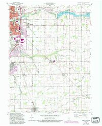
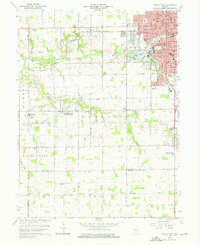
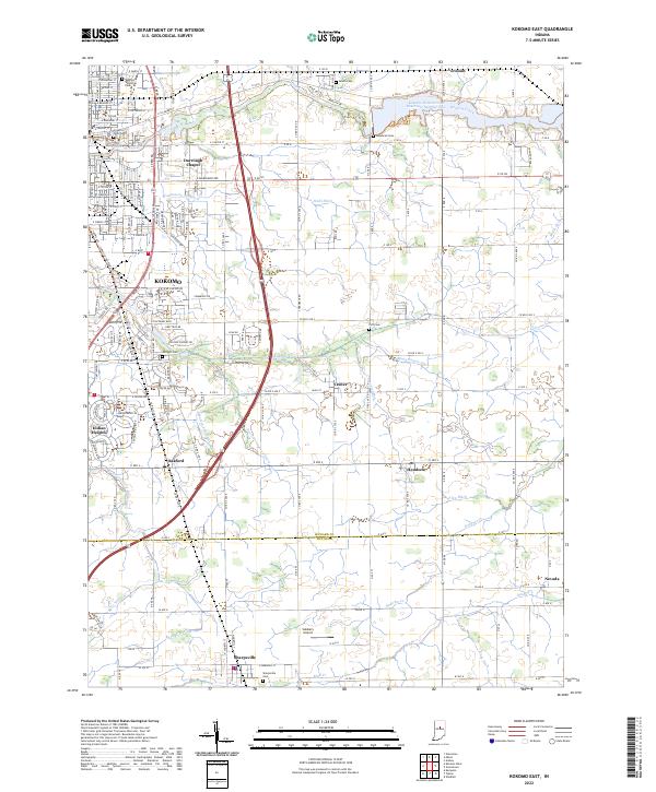
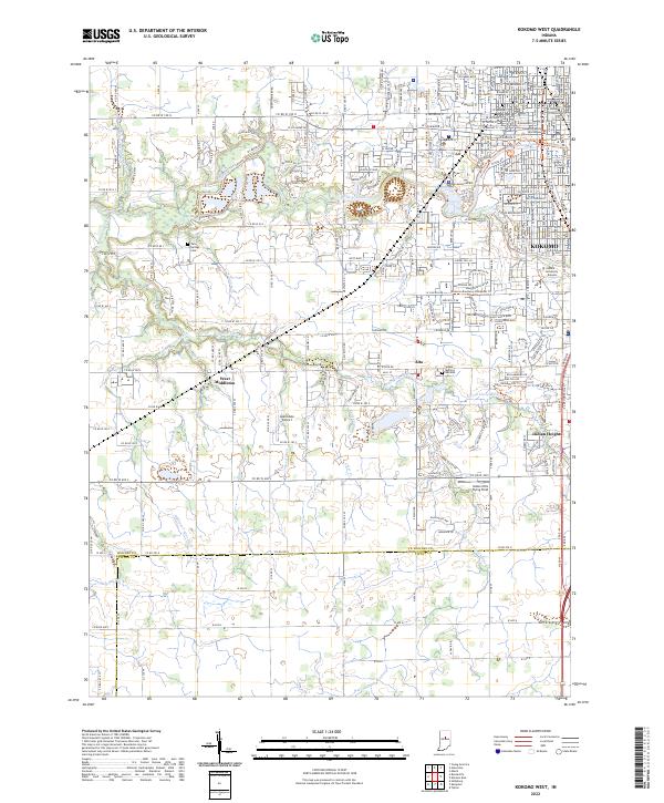
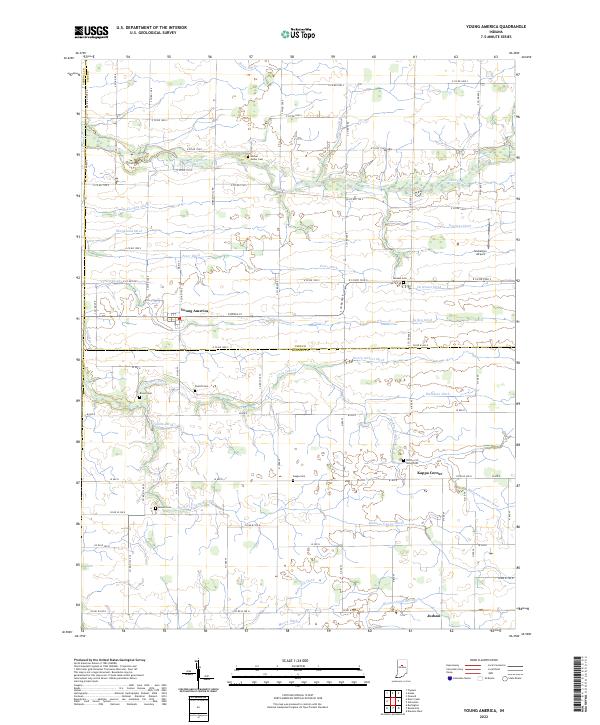
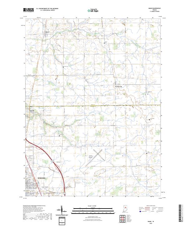
Kokomo and its surrounding northern townships define this landscape at the intersection of agricultural heritage and modern education. The southern portion of the sheet is anchored by the Ivy Tech Community College-Kokomo campus and the Kokomo Municipal Airport, reflecting the city's role as a regional hub. North of the city, the former rail corridor is preserved as the Nickle Plate Rail-Trl, which passes through Cassville and towards the settlement of Miami. The countryside is marked by a high density of family and community cemeteries, including Climer Cem, Chitick Cem, and Hudson Cem, indicating long-established rural lineages. A complex network of drainage ditches, such as Grinslade Ditch and Matthew Anaker Ditch, feeds into the various branches of Deer Cr, illustrating the intensive management of this central Indiana farmland.
Find a feature on this map
103 named features on this map. Tap any name to fly to it.
Don’t see what you’re looking for? This feature index may not catch every label — zoom into the map to look around manually.
Map Details
Editions of this 2022 Miami Map
This is the sole edition of this map. No revisions or reprints were ever made.
Historical Maps of Kokomo Through Time
9 maps found