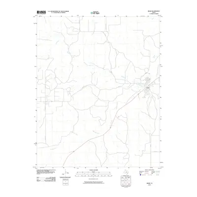
2010 Map of Miami
USGS Topo · Published 2010About this map
Miami sits at the convergence of several regional transit routes in this Roberts County landscape, serving as the primary hub for the surrounding ranching and agricultural country. The town's grid is oriented towards the southwest-to-northeast corridor of the railroad and highway, bordered closely by Red Deer Creek. This drainage system, along with Bluff Creek to the north, dictates the local topography and the placement of rural infrastructure.
Find a feature on this map
11 named features on this map. Tap any name to fly to it.
Don’t see what you’re looking for? This feature index may not catch every label — zoom into the map to look around manually.
Map Details
Editions of this 2010 Miami Map
This is the sole edition of this map. No revisions or reprints were ever made.
Other maps of this area

1954 · Amarillo
USGS Topo · 1:250,000

1958 · Amarillo
USGS Topo · 1:250,000

1966 · Laketon
USGS Topo · 1:24,000

1967 · Hoover
USGS Topo · 1:24,000

1967 · Tody School
USGS Topo · 1:24,000

1967 · Lora
USGS Topo · 1:24,000

1971 · Dry Creek SE
USGS Topo · 1:24,000

1972 · Washburn Arroyo
USGS Topo · 1:24,000

1972 · Pampa NE
USGS Topo · 1:24,000

1972 · Miami
USGS Topo · 1:24,000