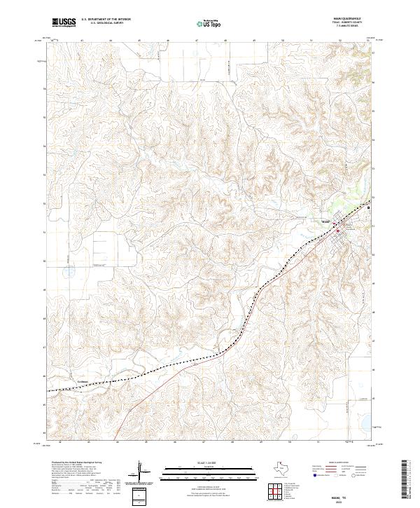
2022 Map of Miami
USGS Topo · Published 2022About this map
Miami serves as the focal point of this Roberts County landscape, situated where the high plains meet the intricate drainage system of Red Deer Creek. As the only incorporated city in the county, it houses the Roberts County Courthouse, a central landmark for local researchers and genealogists. The surrounding terrain is defined by deep erosion patterns and seasonal watercourses like Bluff Cr and Horse Cr, which carve through the panhandle geography.
Find a feature on this map
25 named features on this map. Tap any name to fly to it.
Don’t see what you’re looking for? This feature index may not catch every label — zoom into the map to look around manually.
Map Details
Editions of this 2022 Miami Map
This is the sole edition of this map. No revisions or reprints were ever made.
Other maps of this area
1954 · Amarillo
USGS Topo · 1:250,000
1958 · Amarillo
USGS Topo · 1:250,000
1966 · Laketon
USGS Topo · 1:24,000
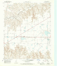
1967 · Hoover
USGS Topo · 1:24,000
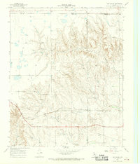
1967 · Tody School
USGS Topo · 1:24,000
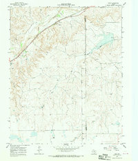
1967 · Lora
USGS Topo · 1:24,000
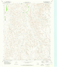
1971 · Dry Creek SE
USGS Topo · 1:24,000
1972 · Washburn Arroyo
USGS Topo · 1:24,000
1972 · Pampa NE
USGS Topo · 1:24,000
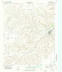
1972 · Miami
USGS Topo · 1:24,000