2022 Map of Miami SE
USGS Topo · Published 2022About this map
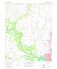
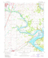
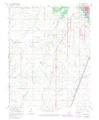
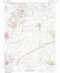
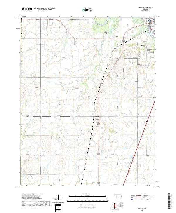
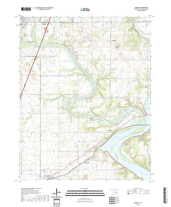
Miami and the surrounding river bottomlands of Ottawa County are defined by the convergence of the Neosho River and Spring River as they flow into the northern reaches of Grand Lake O' The Cherokees. This 2022 survey captures the hydraulic landscape of northeastern Oklahoma, featuring distinctive geographic markers such as Mudeater Bend and Moccasin Bend. The region's deep cultural history is represented by numerous burial sites, including the Ottawa Indian Cem, Berry / Connor Cem, and Bland Cem. Rural settlements like Ottawa, Moreville, and Ogeechee are connected by a network of county roads such as E 100 RD and E 140 RD, tracing the agricultural and residential development around the reservoir. In the southern corner, the edge of Fairland appears near Railway Ave, while waterways like Tar Creek and Hudson Creek drain into the river system, illustrating the intricate drainage patterns of the Cherokee Nation territory.
Find a feature on this map
82 named features on this map. Tap any name to fly to it.
Don’t see what you’re looking for? This feature index may not catch every label — zoom into the map to look around manually.
Map Details
Editions of this 2022 Miami SE Map
This is the sole edition of this map. No revisions or reprints were ever made.
Historical Maps of Miami Through Time
10 maps found