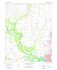
1961 Map of Miami NW
USGS Topo · Published 1982About this map
The Neosho River meanders across this landscape, defining the northern reaches of Lake O' the Cherokees. This 1960s era survey, updated with late-century photogrammetric revisions, captures the industrial and agricultural character of Ottawa County. The presence of extensive tailings piles and numerous gravel pits near Commerce and North Miami reflects the region's mining legacy, while the Quapaw Indian Reservation boundary and sites like Old Indian Cem underscore the area's deep tribal history.
Find a feature on this map
37 named features on this map. Tap any name to fly to it.
Don’t see what you’re looking for? This feature index may not catch every label — zoom into the map to look around manually.
Map Details
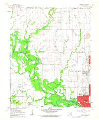
Editions of this 1961 Miami NW Map
2 editions found
Other maps of this area

1886 · Joplin
USGS Topo · 1:125,000

1886 · Parsons
USGS Topo · 1:125,000

1893 · Parsons
USGS Topo · 1:125,000

1894 · Joplin
USGS Topo · 1:125,000

1901 · Vinita
USGS Topo · 1:125,000

1907 · Wyandotte
USGS Topo · 1:125,000

1909 · Wyandotte
USGS Topo · 1:125,000

1913 · Vinita
USGS Topo · 1:125,000

1918 · Columbus
USGS Topo · 1:62,500

1944 · Oswego
USGS Topo · 1:62,500