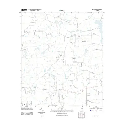
2012 Map of Miccosukee
USGS Topo · Published 2012About this map
Lake Miccosukee and its surrounding wetlands anchor this North Florida landscape, where the traditional community of Miccosukee serves as a local hub. The map details a transition from low-lying ponds and creeks to more elevated farming and residential land, characterized by clusters like Concord, Baum, and Wadesboro. These small settlements are interconnected by a network of rural roads such as Sunny Hill Plantation Rd and Old Magnolia Rd, reflecting the area's deep-rooted agricultural and plantation history.
Find a feature on this map
129 named features on this map. Tap any name to fly to it.
Don’t see what you’re looking for? This feature index may not catch every label — zoom into the map to look around manually.
Map Details
Editions of this 2012 Miccosukee Map
This is the sole edition of this map. No revisions or reprints were ever made.
Other maps of this area
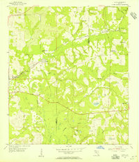
1954 · Lloyd
USGS Topo · 1:24,000
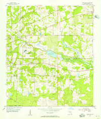
1954 · Lafayette
USGS Topo · 1:24,000
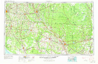
1954 · Valdosta
USGS Topo · 1:250,000

1954 · Tallahassee
USGS Topo · 1:250,000
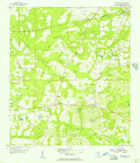
1955 · Waukeenah
USGS Topo · 1:24,000
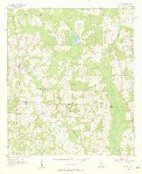
1956 · Metcalf
USGS Topo · 1:24,000
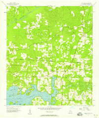
1957 · Beachton
USGS Topo · 1:24,000
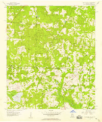
1957 · Miccosukee NE
USGS Topo · 1:24,000
1958 · Valdosta
USGS Topo · 1:250,000
1959 · Tallahassee
USGS Topo · 1:250,000