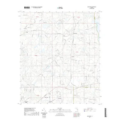
2021 Map of Miccosukee
USGS Topo · Published 2021About this map
Miccosukee and the surrounding unincorporated communities of Concord and Felkel anchor this northern Florida landscape, where the eastern edge of the quadrangle is defined by the expansive shoreline of Lake Miccosukee. The area's settlement pattern is deeply rooted in its geography, with historical focal points like Moccasin Gap and small, dispersed locales including Baum, Wadesboro, and Peck. Numerous small ponds and hammocks, such as Sanders Hammock Pond and Emma Lee Pond, dot the terrain, reflecting the wet-weather drainage patterns typical of the Red Hills region.
Find a feature on this map
163 named features on this map. Tap any name to fly to it.
Don’t see what you’re looking for? This feature index may not catch every label — zoom into the map to look around manually.
Map Details
Editions of this 2021 Miccosukee Map
This is the sole edition of this map. No revisions or reprints were ever made.
Other maps of this area

1954 · Lloyd
USGS Topo · 1:24,000

1954 · Lafayette
USGS Topo · 1:24,000

1954 · Valdosta
USGS Topo · 1:250,000

1954 · Tallahassee
USGS Topo · 1:250,000

1955 · Waukeenah
USGS Topo · 1:24,000

1956 · Metcalf
USGS Topo · 1:24,000

1957 · Beachton
USGS Topo · 1:24,000

1957 · Miccosukee NE
USGS Topo · 1:24,000

1958 · Valdosta
USGS Topo · 1:250,000

1959 · Tallahassee
USGS Topo · 1:250,000