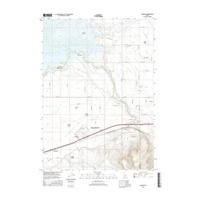
2017 Map of Michaud
USGS Topo · Published 2017About this map
Pocatello and its northwestern outskirts are defined by the convergence of industrial infrastructure and the wetlands of the Portneuf River. In this modern 2017 survey, the expansive Fort Hall Bottoms stretch toward the American Falls Reservoir, illustrating the hydrological complexity of the region. The landscape is a mix of aviation hubs like the Pocatello Regional Airport and smaller communities such as Michaud and Don. A sophisticated network of irrigation canals, including the Tyhee Lateral and Church Lateral, supports the agricultural activity across Michaud Flats. Further south, the terrain rises toward Arbon Valley, showing the transition from the river basin to higher elevations. This map captures the intersection of the Fort Hall reservation boundaries with modern transportation corridors and water management systems near the Bannock and Power county lines.
Find a feature on this map
75 named features on this map. Tap any name to fly to it.
Don’t see what you’re looking for? This feature index may not catch every label — zoom into the map to look around manually.
Map Details
Editions of this 2017 Michaud Map
This is the sole edition of this map. No revisions or reprints were ever made.
Other maps of this area

1934 · Michaud
USGS Topo · 1:62,500

1937 · Pocatello
USGS Topo · 1:48,000

1937 · Michaud
USGS Topo · 1:62,500

1940 · Blackfoot
USGS Topo · 1:62,500

1943 · Blackfoot
USGS Topo · 1:62,500

1944 · Pocatello
USGS Topo · 1:62,500

1954 · Pocatello
USGS Topo · 1:250,000

1955 · Pingree
USGS Topo · 1:24,000

1955 · Springfield
USGS Topo · 1:24,000

1955 · Idaho Falls
USGS Topo · 1:250,000