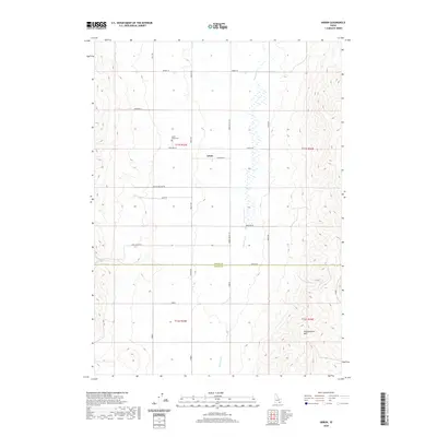
2024 Map of Michaud
USGS Topo · Published 2024About this map
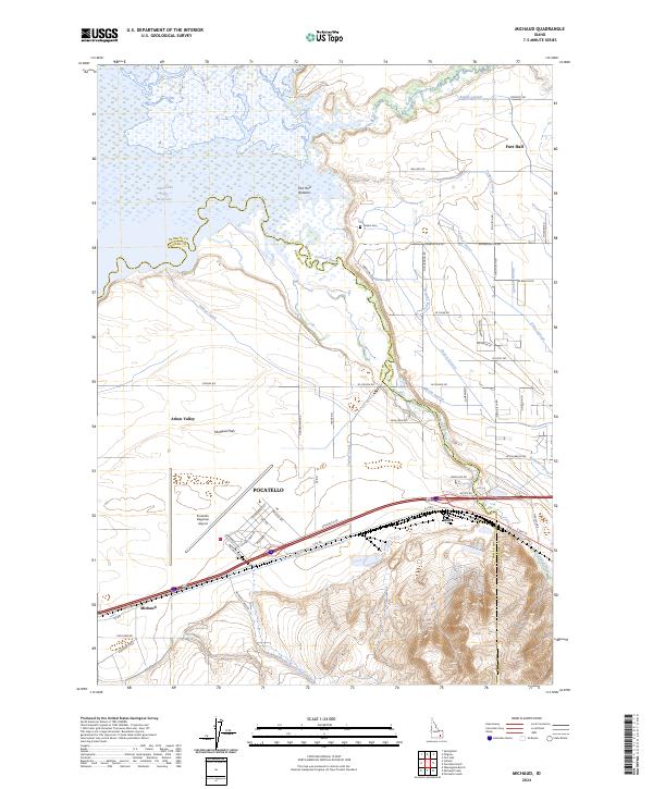
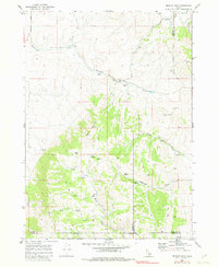
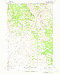
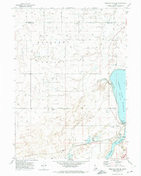
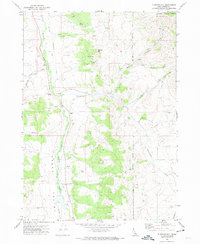
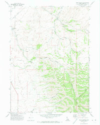
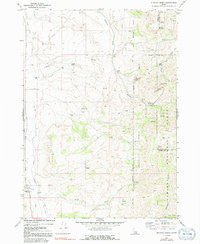
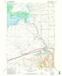
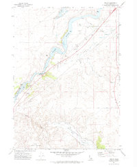
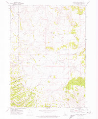
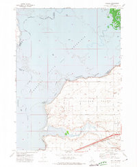
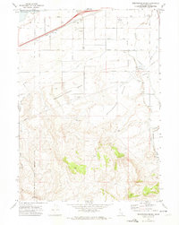
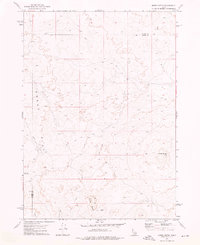
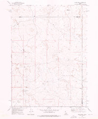
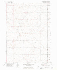
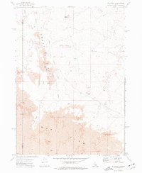
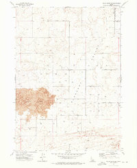
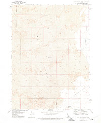
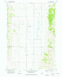
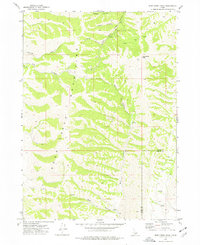
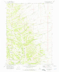
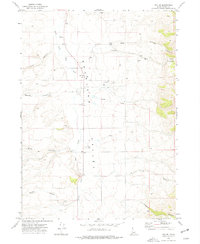
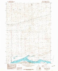
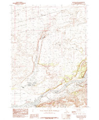
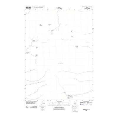
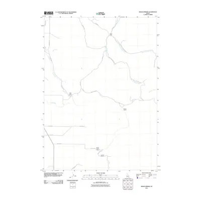
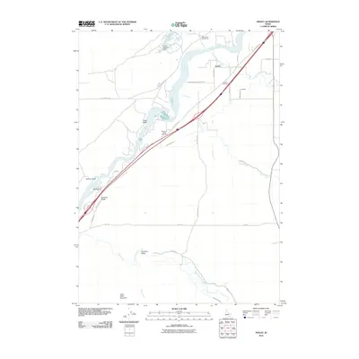
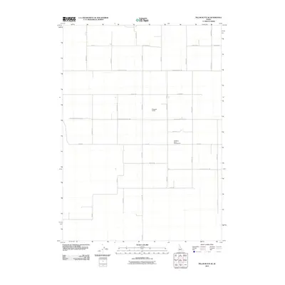
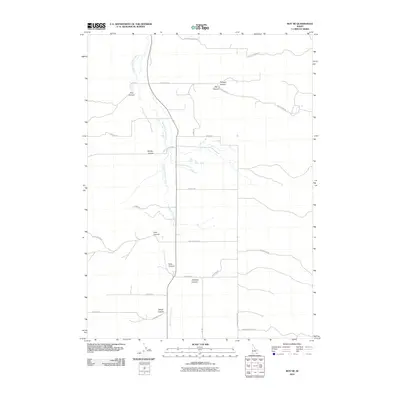
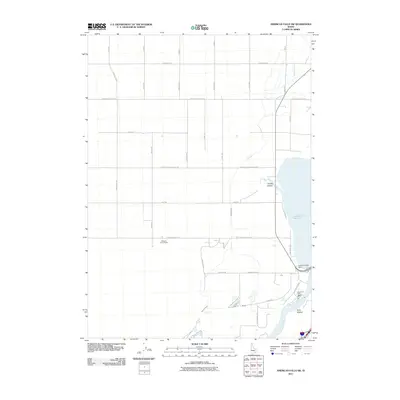
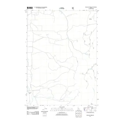
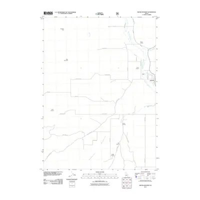
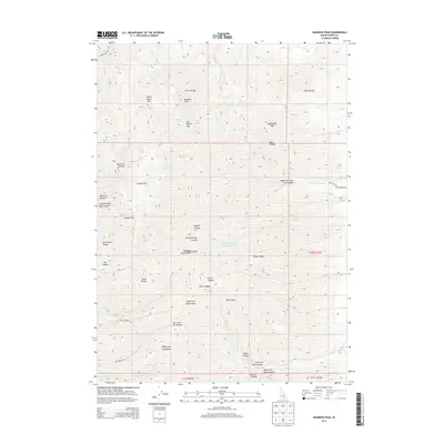
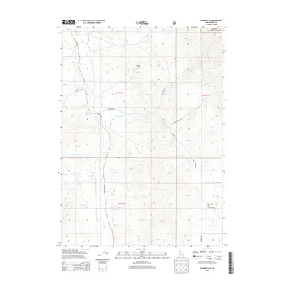
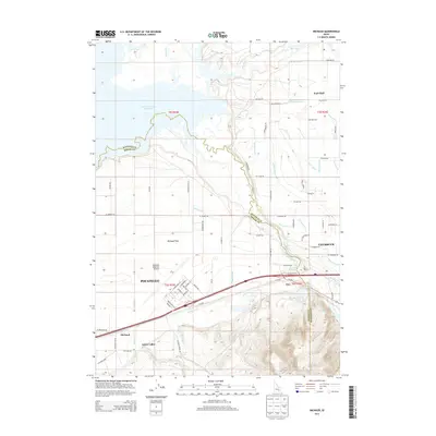
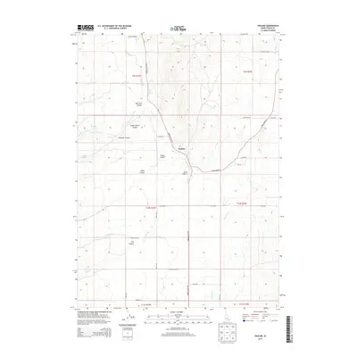
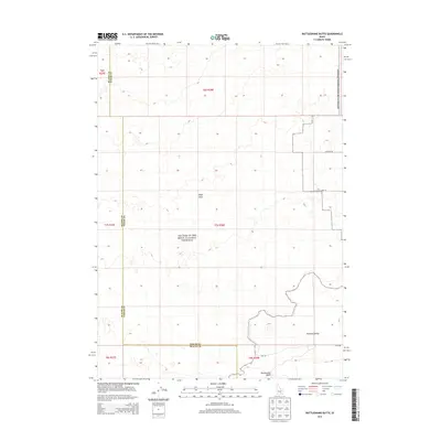
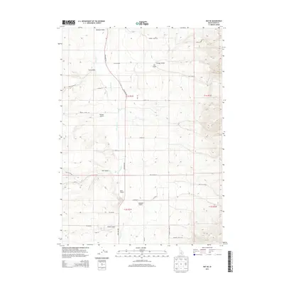
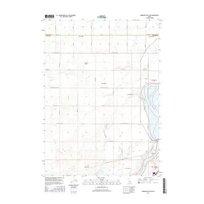
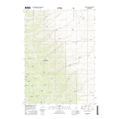
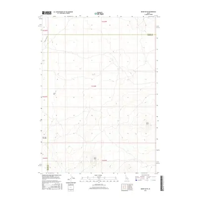
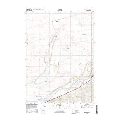
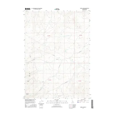
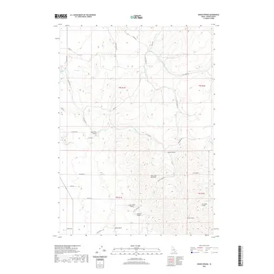
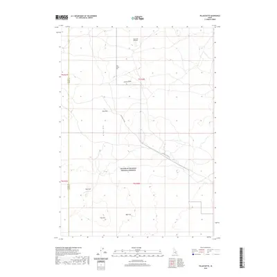
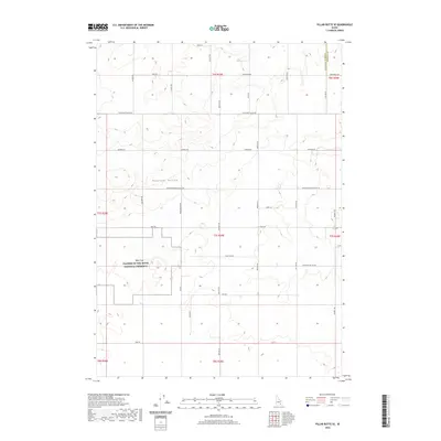
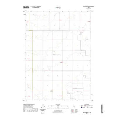
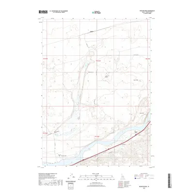
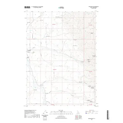
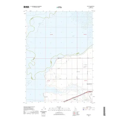
The Pontneuf River meanders through this landscape, marking the transition from the wetlands of Fort Hall Bottoms to the industrial and transportation hub of Pocatello. In the north, the American Falls Reservoir dominates the drainage basin, with several laterals like the Tyhee Lateral and Hooker Lateral illustrating the extensive irrigation network supporting the Michaud Flats.
Find a feature on this map
104 named features on this map. Tap any name to fly to it.
Don’t see what you’re looking for? This feature index may not catch every label — zoom into the map to look around manually.
Map Details
Editions of this 2024 Michaud Map
This is the sole edition of this map. No revisions or reprints were ever made.
Historical Maps of Pocatello Through Time
167 maps found

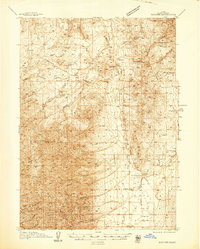
1934 Michaud
Power County, ID

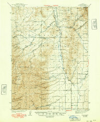
1937 Michaud
Power County, ID
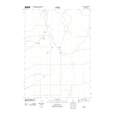
1938 Pauline
Power County, ID
1944 Arbon
Power County, ID
1959 Yale
Power County, ID
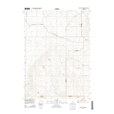
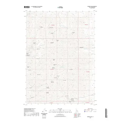
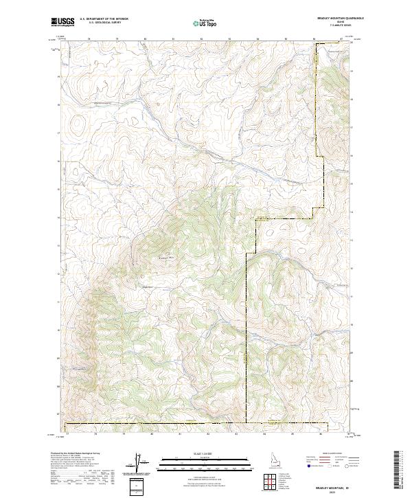
1968 Bradley Mtn
Power County, ID
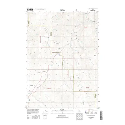
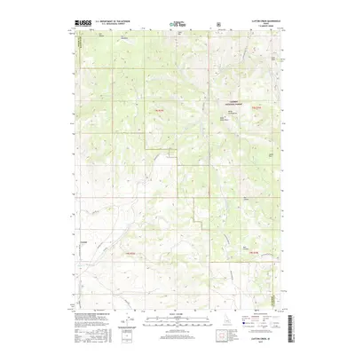
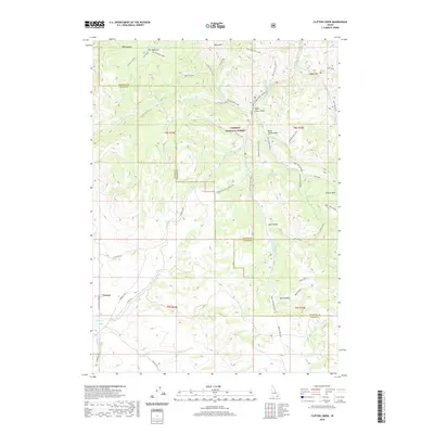
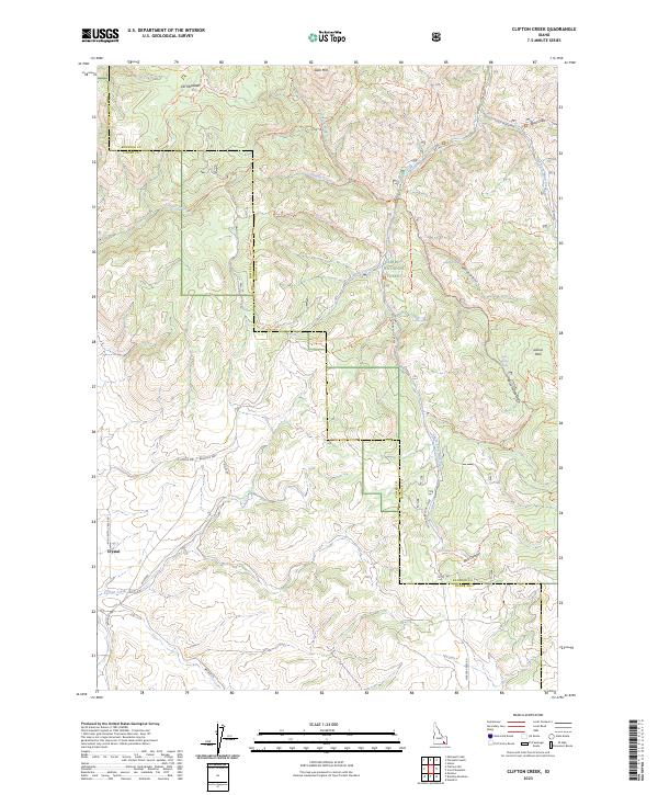
1968 Clifton Creek
Power County, ID
1971 American Falls SW
Power County, ID
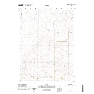
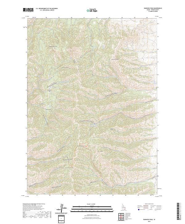
1971 Bannock Peak
Power County, ID
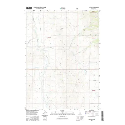
1971 Flatiron Hill
Power County, ID
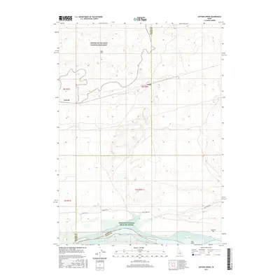
1971 Indian Springs
Power County, ID
1971 Michaud Creek
Power County, ID
1971 Michaud
Power County, ID
1971 Neeley
Power County, ID
1971 Pauline
Power County, ID
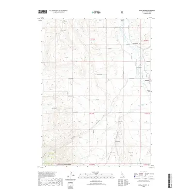
1971 Rockland East
Power County, ID
1971 Rockland West
Power County, ID
1971 Sawmill Creek
Power County, ID
1971 Schiller
Power County, ID
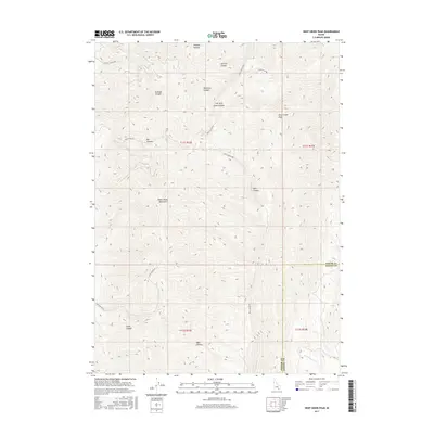
1971 Wheatgrass Bench
Power County, ID
1972 Mosby Butte
Power County, ID
1972 Mosby Well
Power County, ID
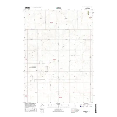
1972 Pillar Butte NE
Power County, ID
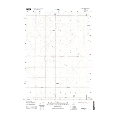
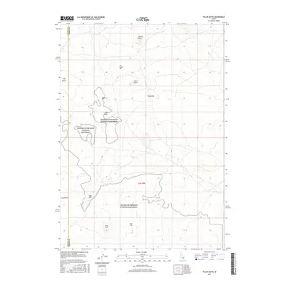
1972 Pillar Butte
Power County, ID
1972 Pillar Butte SE
Power County, ID
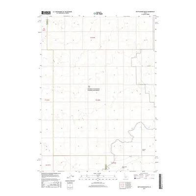
1972 Rattlesnake Butte
Power County, ID
1973 Arbon
Power County, ID
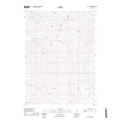
1973 Deep Creek Peak
Power County, ID
1973 Hartley Peak
Power County, ID
1973 Roy NE
Power County, ID
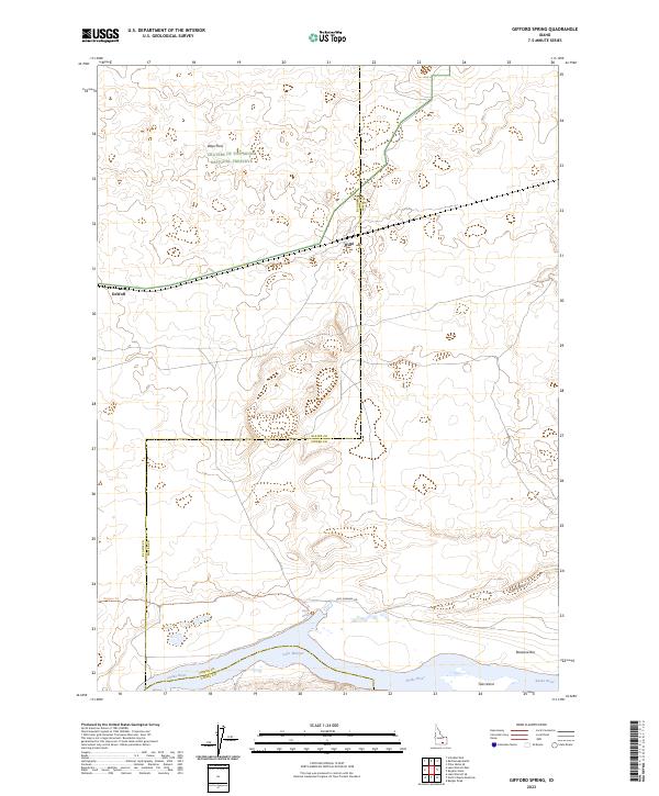
1984 Gifford Spring
Power County, ID
1984 Register Rock
Power County, ID
2010 Arbon
Power County, ID
2010 Bannock Peak
Power County, ID
2010 Bradley Mountain
Power County, ID
2010 Deep Creek Peak
Power County, ID
2010 Gifford Spring
Power County, ID
2010 Indian Springs
Power County, ID
2010 Michaud
Power County, ID
2010 Mosby Butte
Power County, ID
2010 Mosby Well
Power County, ID
2010 Neeley
Power County, ID
2010 Pauline
Power County, ID
2010 Pillar Butte NE
Power County, ID
2010 Pillar Butte
Power County, ID
2010 Pillar Butte SE
Power County, ID
2010 Rattlesnake Butte
Power County, ID
2010 Register Rock
Power County, ID
2010 Rockland East
Power County, ID
2010 Roy NE
Power County, ID
2010 Sawmill Creek
Power County, ID
2010 Schiller
Power County, ID
2010 Wheatgrass Bench
Power County, ID
2011 American Falls SW
Power County, ID
2011 Clifton Creek
Power County, ID
2011 Flatiron Hill
Power County, ID
2011 Hartley Peak
Power County, ID
2011 Michaud Creek
Power County, ID
2011 Rockland West
Power County, ID
2013 American Falls SW
Power County, ID
2013 Arbon
Power County, ID
2013 Bannock Peak
Power County, ID
2013 Bradley Mountain
Power County, ID
2013 Clifton Creek
Power County, ID
2013 Deep Creek Peak
Power County, ID
2013 Flatiron Hill
Power County, ID

2013 Gifford Spring
Power County, ID
2013 Hartley Peak
Power County, ID
2013 Indian Springs
Power County, ID
2013 Michaud Creek
Power County, ID
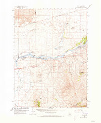
2013 Michaud
Power County, ID
2013 Mosby Butte
Power County, ID
2013 Mosby Well
Power County, ID
2013 Neeley
Power County, ID
2013 Pauline
Power County, ID
2013 Pillar Butte NE
Power County, ID
2013 Pillar Butte
Power County, ID
2013 Pillar Butte SE
Power County, ID
2013 Rattlesnake Butte
Power County, ID
2013 Register Rock
Power County, ID
2013 Rockland East
Power County, ID
2013 Rockland West
Power County, ID
2013 Roy NE
Power County, ID
2013 Sawmill Creek
Power County, ID
2013 Schiller
Power County, ID
2013 Wheatgrass Bench
Power County, ID
2017 American Falls SW
Power County, ID
2017 Arbon
Power County, ID
2017 Bannock Peak
Power County, ID
2017 Bradley Mountain
Power County, ID
2017 Clifton Creek
Power County, ID
2017 Deep Creek Peak
Power County, ID
2017 Flatiron Hill
Power County, ID
2017 Gifford Spring
Power County, ID
2017 Hartley Peak
Power County, ID
2017 Indian Springs
Power County, ID
2017 Michaud Creek
Power County, ID
2017 Michaud
Power County, ID
2017 Mosby Butte
Power County, ID
2017 Mosby Well
Power County, ID
2017 Neeley
Power County, ID
2017 Pauline
Power County, ID
2017 Pillar Butte NE
Power County, ID
2017 Pillar Butte
Power County, ID
2017 Pillar Butte SE
Power County, ID
2017 Rattlesnake Butte
Power County, ID
2017 Register Rock
Power County, ID
2017 Rockland East
Power County, ID
2017 Rockland West
Power County, ID
2017 Roy NE
Power County, ID
2017 Sawmill Creek
Power County, ID
2017 Schiller
Power County, ID
2017 Wheatgrass Bench
Power County, ID
2020 American Falls SW
Power County, ID
2020 Arbon
Power County, ID
2020 Bannock Peak
Power County, ID
2020 Bradley Mountain
Power County, ID
2020 Clifton Creek
Power County, ID
2020 Deep Creek Peak
Power County, ID
2020 Flatiron Hill
Power County, ID
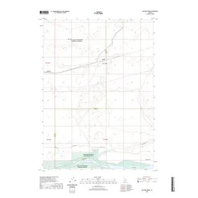
2020 Gifford Spring
Power County, ID
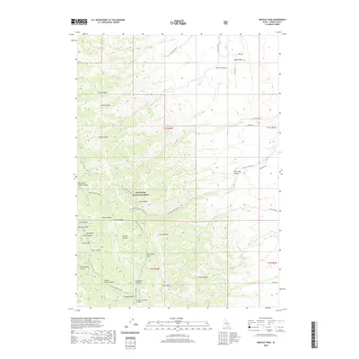
2020 Hartley Peak
Power County, ID
2020 Indian Springs
Power County, ID
2020 Michaud Creek
Power County, ID
2020 Michaud
Power County, ID
2020 Mosby Butte
Power County, ID
2020 Mosby Well
Power County, ID
2020 Neeley
Power County, ID
2020 Pauline
Power County, ID
2020 Pillar Butte NE
Power County, ID
2020 Pillar Butte
Power County, ID
2020 Pillar Butte SE
Power County, ID
2020 Rattlesnake Butte
Power County, ID
2020 Register Rock
Power County, ID
2020 Rockland East
Power County, ID
2020 Rockland West
Power County, ID
2020 Roy NE
Power County, ID
2020 Sawmill Creek
Power County, ID
2020 Schiller
Power County, ID
2020 Wheatgrass Bench
Power County, ID
2023 American Falls SW
Power County, ID
2023 Arbon
Power County, ID
2023 Bannock Peak
Power County, ID
2023 Bradley Mountain
Power County, ID
2023 Clifton Creek
Power County, ID
2023 Gifford Spring
Power County, ID
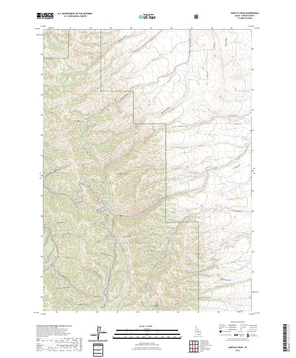
2023 Hartley Peak
Power County, ID
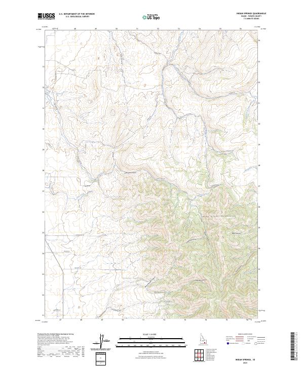
2023 Indian Springs
Power County, ID
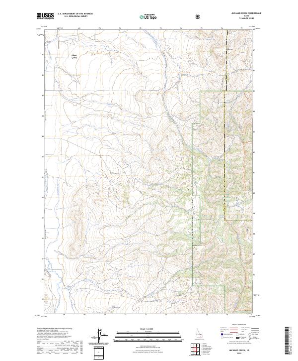
2023 Michaud Creek
Power County, ID
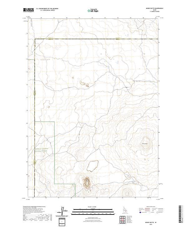
2023 Mosby Butte
Power County, ID
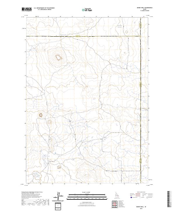
2023 Mosby Well
Power County, ID
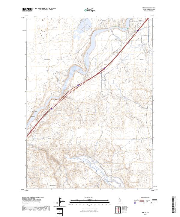
2023 Neeley
Power County, ID
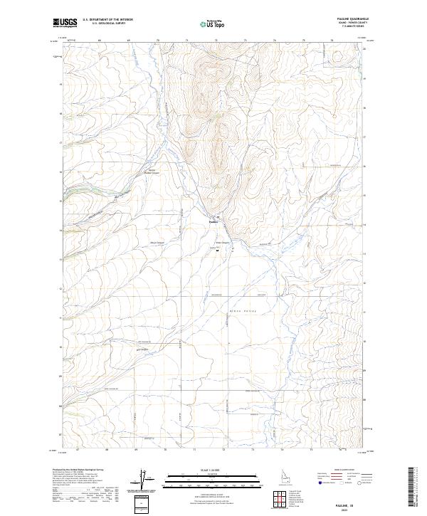
2023 Pauline
Power County, ID
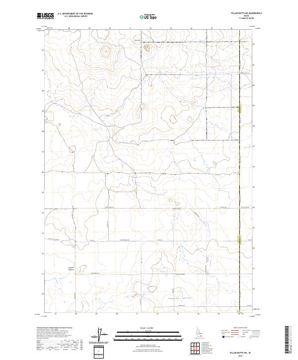
2023 Pillar Butte NE
Power County, ID
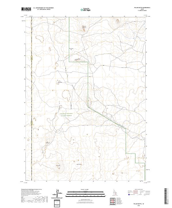
2023 Pillar Butte
Power County, ID
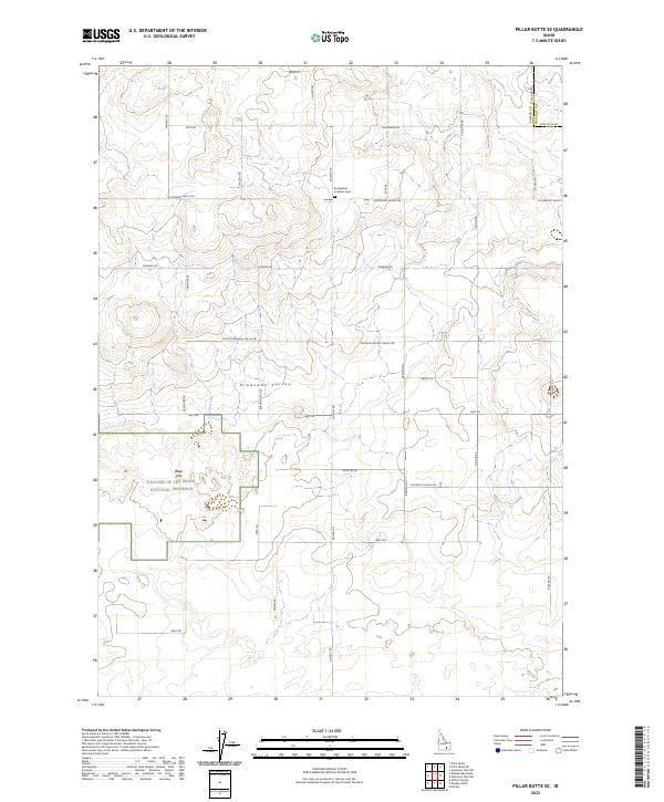
2023 Pillar Butte SE
Power County, ID
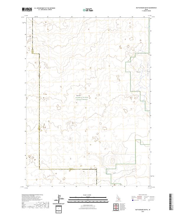
2023 Rattlesnake Butte
Power County, ID
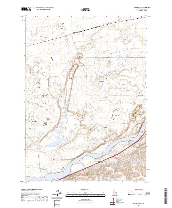
2023 Register Rock
Power County, ID
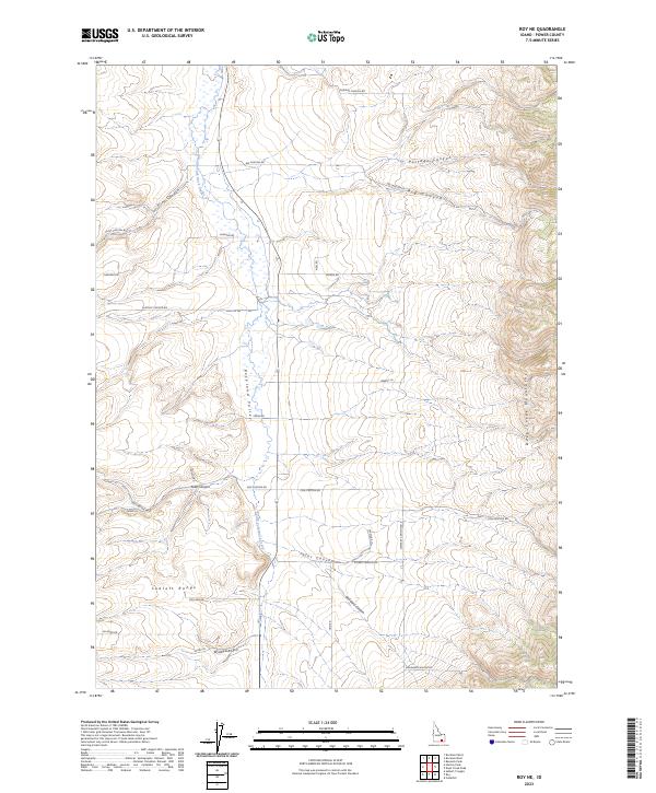
2023 Roy NE
Power County, ID
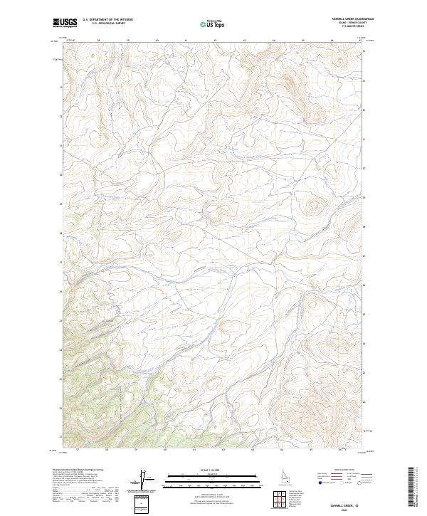
2023 Sawmill Creek
Power County, ID
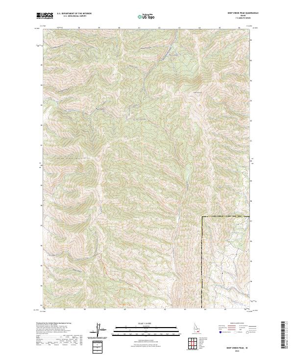
2024 Deep Creek Peak
Power County, ID
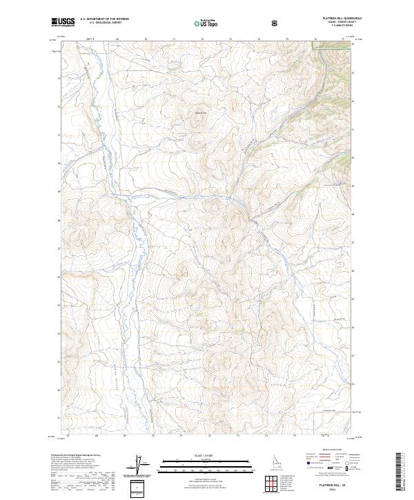
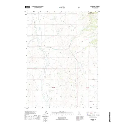
2024 Flatiron Hill
Power County, ID
2024 Michaud
Power County, ID
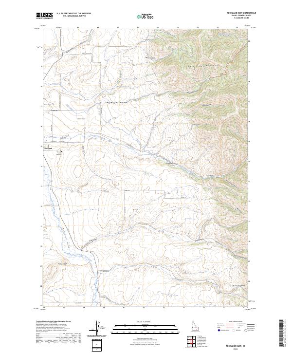
2024 Rockland East
Power County, ID
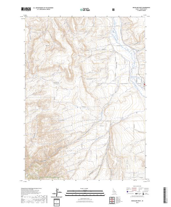
2024 Rockland West
Power County, ID
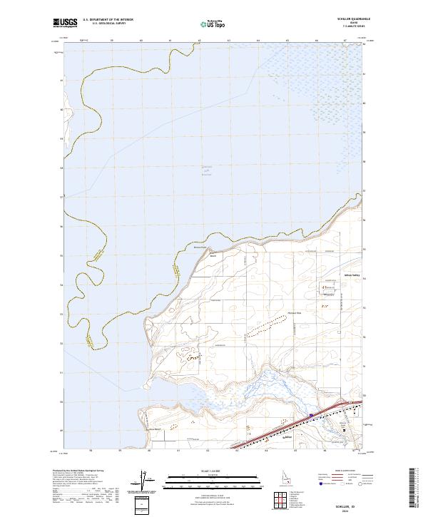
2024 Schiller
Power County, ID
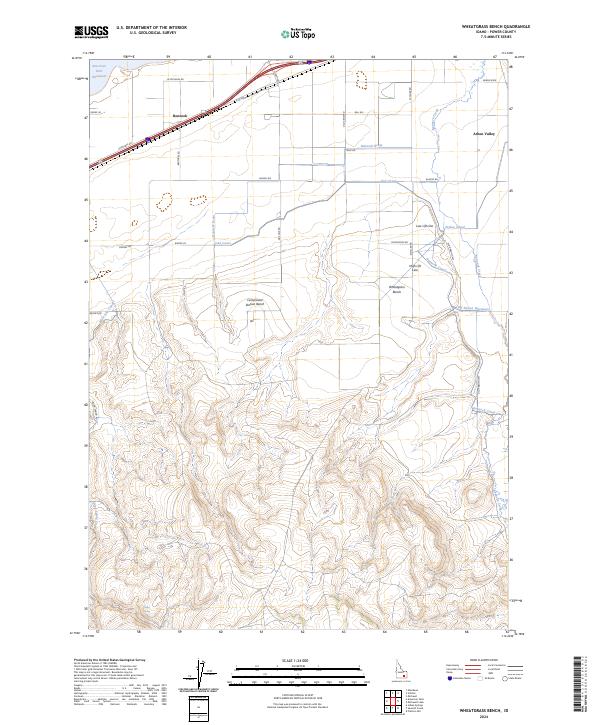
2024 Wheatgrass Bench
Power County, ID