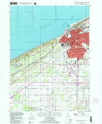
1994 Map of Michigan City West
USGS Topo · Published 1999About this map
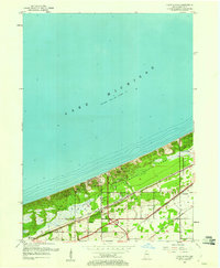
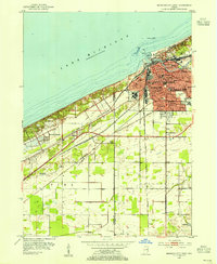
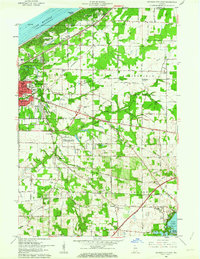
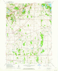
Lake Michigan dominates the northern horizon of this Lakefront landscape, where the urban grid of Michigan City meets the protected shoreline. The map illustrates a complex intersection of industry, recreation, and civic life in the late twentieth century, featuring the expansive Indiana Dunes National Lakeshore and the prominent grounds of the State Prison. Transit corridors like the South Shore Line and roads such as Franklin St reveal the city's historical growth patterns and its connection to the surrounding region.
Find a feature on this map
40 named features on this map. Tap any name to fly to it.
Don’t see what you’re looking for? This feature index may not catch every label — zoom into the map to look around manually.
Map Details
Editions of this 1994 Michigan City West Map
This is the sole edition of this map. No revisions or reprints were ever made.
Other maps of this area
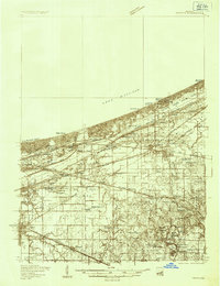
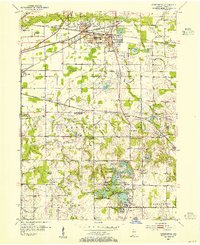
1934 · Porter
USGS Topo · 1:48,000
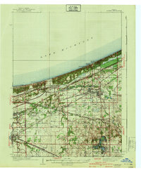
1940 · Porter
USGS Topo · 1:62,500
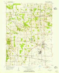
1953 · Westville
USGS Topo · 1:24,000
1953 · Chesterton
USGS Topo · 1:24,000
1953 · Dune Acres
USGS Topo · 1:24,000
1953 · Michigan City West
USGS Topo · 1:24,000

1953 · Chicago
USGS Topo · 1:250,000

1957 · Chicago
USGS Topo · 1:250,000
1958 · Michigan City East
USGS Topo · 1:24,000
1961 · La Porte West
USGS Topo · 1:24,000