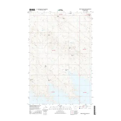
2017 Map of Middle Eighth Coulee
USGS Topo · Published 2017About this map
Fort Peck Lake and its northern inlets dominate this Missouri River breaks landscape in Valley County. The northern shoreline is deeply indented by Eighth Coulee Bay, where the drainage of Middle Eighth Coulee meets the reservoir's edge. The surrounding high ground is defined by a series of prominent landforms including Mid Eighth Ridge, Sixth Ridge, and Seventh Ridge, which separate the various coulees feeding toward the water.
Find a feature on this map
24 named features on this map. Tap any name to fly to it.
Don’t see what you’re looking for? This feature index may not catch every label — zoom into the map to look around manually.
Map Details
Editions of this 2017 Middle Eighth Coulee Map
This is the sole edition of this map. No revisions or reprints were ever made.
Other maps of this area

1954 · Jordan
USGS Topo · 1:250,000

1956 · Jordan
USGS Topo · 1:250,000

1958 · Jordan
USGS Topo · 1:250,000

1958 · Collins Ranch
USGS Topo · 1:62,500

1958 · Maloney Hill
USGS Topo · 1:62,500

1958 · Lewis Reservoir
USGS Topo · 1:24,000
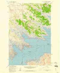
1958 · Seventh Point Buttes
USGS Topo · 1:24,000

1964 · Jordan
USGS Topo · 1:250,000
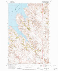
1972 · Signal Butte
USGS Topo · 1:24,000

1978 · Fort Peck Lake East
USGS Topo · 1:100,000