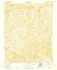
1959 Map of Middle Fox Creek
USGS Topo · Published 1960About this map
Jefferson National Forest dominates the high country of Grayson and Smyth counties, where the ridgelines of Iron Mountain and Brushy Ridge create a complex topography of deep coves and narrow creek valleys. Settlement patterns in the late 1950s remained closely tied to these natural contours, with family-named cemeteries and rural churches serving as the primary landmarks for the scattered population. The map reveals a high density of small burial grounds, such as Roberts Cem, Holdaway Cem, and Long Cem, which are invaluable for genealogical research in this part of the Blue Ridge.
Find a feature on this map
95 named features on this map. Tap any name to fly to it.
Don’t see what you’re looking for? This feature index may not catch every label — zoom into the map to look around manually.
Map Details
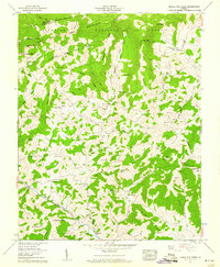
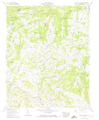
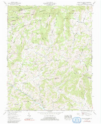
Editions of this 1959 Middle Fox Creek Map
4 editions found
Other maps of this area

1889 · Wytheville
USGS Topo · 1:125,000

1892 · Wytheville
USGS Topo · 1:125,000

1930 · Speedwell
USGS Topo · 1:62,500

1930 · Independence
USGS Topo · 1:48,000

1931 · Rural Retreat
USGS Topo · 1:48,000

1933 · Independence
USGS Topo · 1:62,500

1935 · Mouth of Wilson
USGS Topo · 1:48,000

1935 · Cedar Springs
USGS Topo · 1:24,000
1935 · Trout Dale
USGS Topo · 1:24,000
1935 · Atkins
USGS Topo · 1:24,000