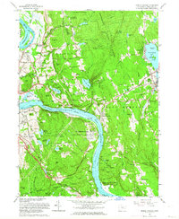
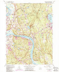
1961 Map of Middle Haddam
USGS Topo · Published 1964About this map
The Connecticut River bisects this landscape, flowing past Gildersleeve Island and through the dramatic narrow passage known as The Straits. During the early 1960s, the region balanced its industrial heritage with large-scale public land management. To the west, the New York New Haven and Hartford railroad line services the manufacturing and residential centers of Portland and Middletown. Significant land is dedicated to the Meshomasic State Forest and Hurd State Park, while a notable section of the riverbank is occupied by the Atomic Energy Commission US Reservation.
Find a feature on this map
115 named features on this map. Tap any name to fly to it.
Don’t see what you’re looking for? This feature index may not catch every label — zoom into the map to look around manually.
Map Details
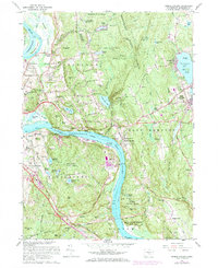
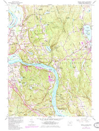
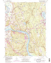
Editions of this 1961 Middle Haddam Map
5 editions found
Other maps of this area

1892 · Gilead
USGS Topo · 1:62,500

1893 · Guilford
USGS Topo · 1:62,500

1893 · Middletown
USGS Topo · 1:62,500

1893 · Saybrook
USGS Topo · 1:62,500

1906 · Farmington
USGS Topo · 1:125,000

1928 · Cromwell
USGS Topo · 1:24,000

1928 · Glastonbury
USGS Topo · 1:24,000

1943 · Durham
USGS Topo · 1:25,000

1944 · Hartford South
USGS Topo · 1:31,680

1944 · Marlboro
USGS Topo · 1:31,680