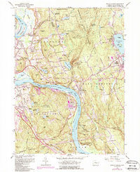
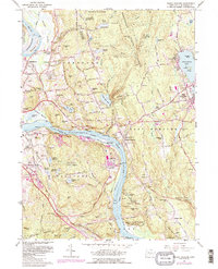
1961 Map of Middle Haddam
USGS Topo · Published 1988About this map
The Connecticut River carves a deep path through Middlesex County, separating the industrial and institutional reaches of Middletown from the wooded heights of Portland. This survey documents a landscape defined by significant infrastructure and state institutions, including the extensive grounds of Silvermine Hall (State Hospital) and several water-management features like Asylum Res No 1. The riverside is dotted with distinctive landmarks such as St Clements Castle and the industrial activity at Eureka Mill, while the interior transitions into the protected timberlands of Meshomasic State Forest and Hurd State Park. Genealogy and local history are well-represented by numerous burial grounds including Portland Burying Ground, Union Hill Cem, and the riverside Old Rock Landing Cem, providing a clear view of the area's development before late-20th-century suburban expansion.
Find a feature on this map
129 named features on this map. Tap any name to fly to it.
Don’t see what you’re looking for? This feature index may not catch every label — zoom into the map to look around manually.
Map Details
Editions of this 1961 Middle Haddam Map
5 editions found
Other maps of this area

1892 · Gilead
USGS Topo · 1:62,500

1893 · Guilford
USGS Topo · 1:62,500

1893 · Middletown
USGS Topo · 1:62,500

1893 · Saybrook
USGS Topo · 1:62,500

1906 · Farmington
USGS Topo · 1:125,000

1928 · Cromwell
USGS Topo · 1:24,000

1928 · Glastonbury
USGS Topo · 1:24,000

1943 · Durham
USGS Topo · 1:25,000

1944 · Hartford South
USGS Topo · 1:31,680

1944 · Marlboro
USGS Topo · 1:31,680