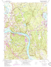
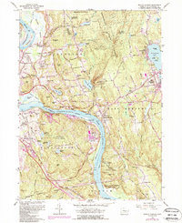
1961 Map of Middle Haddam
USGS Topo · Published 1985About this map
The Connecticut River carves a deep path through this mid-century landscape, separating the industrial and institutional developments of Middletown from the wooded heights of Portland and East Hampton. On the western bank, the Silvermine Hall state hospital complex and the Maromas area sit near the Conrail line, while the eastern side features a cluster of quarries and mills, including the Eureka Mill. The terrain is defined by a series of significant elevations like Collins Hill and Penfield Hill, giving way to the substantial Pocotopaug Lake in the northeast corner. This 1961 survey, later updated in the early 1980s, captures the region's transition from a river-based economy to a suburban and recreational one, evidenced by the numerous cemeteries like Skinnerville Cem and Hog Hill Cem that mark the locations of earlier agrarian communities. Large tracts of protected land, such as Hurd State Park and Meshomasic State Forest, preserve the character of the highlands overlooking the river valley.
Find a feature on this map
104 named features on this map. Tap any name to fly to it.
Don’t see what you’re looking for? This feature index may not catch every label — zoom into the map to look around manually.
Map Details
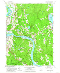
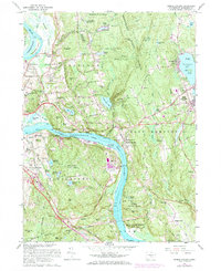
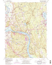
Editions of this 1961 Middle Haddam Map
5 editions found
Other maps of this area

1892 · Gilead
USGS Topo · 1:62,500

1893 · Guilford
USGS Topo · 1:62,500

1893 · Middletown
USGS Topo · 1:62,500

1893 · Saybrook
USGS Topo · 1:62,500

1906 · Farmington
USGS Topo · 1:125,000

1928 · Cromwell
USGS Topo · 1:24,000

1928 · Glastonbury
USGS Topo · 1:24,000

1943 · Durham
USGS Topo · 1:25,000

1944 · Hartford South
USGS Topo · 1:31,680

1944 · Marlboro
USGS Topo · 1:31,680