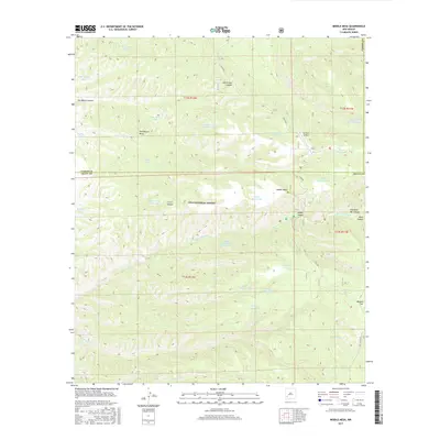
2017 Map of Middle Mesa
USGS Topo · Published 2017About this map
Gila National Forest encompasses this high-elevation landscape, where the boundary between Catron and Grant counties bisects a series of prominent landforms and canyons. The terrain is defined by the broad expanse of Middle Mesa and Tom Moore Mesa, cut by deep drainages such as Black Canyon and North Star Canyon. This 2017 survey reveals a remote backcountry infrastructure centered on water management for livestock or wildlife, with numerous named catchments including Tom Moore Tank, Indian Tank, and Dry Lake Tank scattered across the flats and ridges.
Find a feature on this map
42 named features on this map. Tap any name to fly to it.
Don’t see what you’re looking for? This feature index may not catch every label — zoom into the map to look around manually.
Map Details
Editions of this 2017 Middle Mesa Map
This is the sole edition of this map. No revisions or reprints were ever made.
Other maps of this area

1911 · Alum Mountain
USGS Topo · 1:125,000

1913 · Alum Mountain
USGS Topo · 1:125,000

1949 · Lookout Mountain
USGS Topo · 1:62,500

1954 · Tularosa
USGS Topo · 1:250,000

1954 · Clifton
USGS Topo · 1:250,000

1957 · Clifton
USGS Topo · 1:250,000

1958 · Clifton
USGS Topo · 1:250,000

1958 · Tularosa
USGS Topo · 1:250,000

1962 · Clifton
USGS Topo · 1:250,000

1963 · Bonner Canyon
USGS Topo · 1:24,000