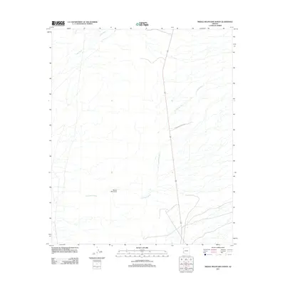
2011 Map of Middle Mountains North
USGS Topo · Published 2011About this map
Middle Mountains rise through the central portion of this arid landscape, characterized by the intricate drainage systems of Indian Wash and Los Angeles Wash. This 2011 survey reveals the significant presence of the Yuma Proving Ground, a massive military installation that dominates the eastern half of the quadrangle. The primary transportation artery is State Route 95, which runs north-south through the desert terrain. The map captures a largely uninhabited section of La Paz County, defined by military boundaries and natural desert hydrology rather than civilian settlement.
Find a feature on this map
6 named features on this map. Tap any name to fly to it.
Don’t see what you’re looking for? This feature index may not catch every label — zoom into the map to look around manually.
Map Details
Editions of this 2011 Middle Mountains North Map
This is the sole edition of this map. No revisions or reprints were ever made.
Other maps of this area

1929 · Laguna
USGS Topo · 1:62,500

1939 · Red Hill
USGS Topo · 1:62,500

1942 · Yuma
USGS Topo · 1:250,000

1942 · Blythe
USGS Topo · 1:250,000

1943 · Laguna
USGS Topo · 1:62,500

1954 · El Centro
USGS Topo · 1:250,000

1954 · Salton Sea
USGS Topo · 1:250,000

1954 · Red Hill
USGS Topo · 1:62,500

1955 · Salton Sea
USGS Topo · 1:250,000

1955 · El Centro
USGS Topo · 1:250,000