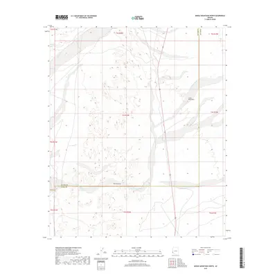
2018 Map of Middle Mountains North
USGS Topo · Published 2018About this map
Mid Mountains dominate the central-southern portion of this desert landscape, standing between the expansive Castle Dome Plain to the east and the dry drainage networks to the west. This 2018 survey details a sophisticated system of ephemeral waterways, most notably Indian Wash in the northwest and the winding Los Angeles Wash, which cuts across the southern boundary near the line between La Paz and Yuma counties. The map reflects a modern topographical record of these arid features, where the lack of permanent settlements highlights the dominance of natural terrain and the essential paths forged by these seasonal washes across the Arizona desert floor.
Find a feature on this map
14 named features on this map. Tap any name to fly to it.
Don’t see what you’re looking for? This feature index may not catch every label — zoom into the map to look around manually.
Map Details
Editions of this 2018 Middle Mountains North Map
This is the sole edition of this map. No revisions or reprints were ever made.
Other maps of this area

1929 · Laguna
USGS Topo · 1:62,500

1939 · Red Hill
USGS Topo · 1:62,500

1942 · Yuma
USGS Topo · 1:250,000

1942 · Blythe
USGS Topo · 1:250,000

1943 · Laguna
USGS Topo · 1:62,500

1954 · El Centro
USGS Topo · 1:250,000

1954 · Salton Sea
USGS Topo · 1:250,000

1954 · Red Hill
USGS Topo · 1:62,500

1955 · Salton Sea
USGS Topo · 1:250,000

1955 · El Centro
USGS Topo · 1:250,000