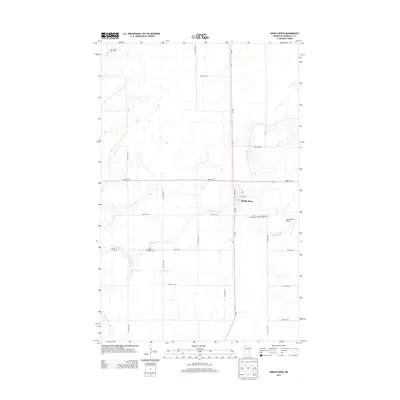
2013 Map of Middle River
USGS Topo · Published 2013About this map
The town of Middle River sits at a crossroads in Marshall County, defined by the winding course of the Middle River waterway. This 2013 survey captures the agricultural grid of the Red River Valley, where long-established burial grounds like the Finnish Lutheran Cem and Woodman Cem reflect the region's Scandinavian and pioneer heritage. The landscape is primarily organized by a precise network of section roads, including MN-32, which bisects the town and connects the surrounding farms to the local grain and aviation hub at Chanlin Field Airport. Genealogists will find several rural cemeteries throughout the quadrangle, such as Spruce Valley Cem, Gaarde Cem, and Huntly Cem, providing clear spatial context for local family histories.
Find a feature on this map
23 named features on this map. Tap any name to fly to it.
Don’t see what you’re looking for? This feature index may not catch every label — zoom into the map to look around manually.
Map Details
Editions of this 2013 Middle River Map
This is the sole edition of this map. No revisions or reprints were ever made.
Other maps of this area

1918 · Greenbush
USGS Topo · 1:62,500

1918 · Middle River
USGS Topo · 1:62,500

1919 · Pelan
USGS Topo · 1:62,500

1952 · Thief River Falls
USGS Topo · 1:250,000

1956 · Thief River Falls
USGS Topo · 1:250,000

1957 · Thief River Falls
USGS Topo · 1:250,000

1957 · Newfolden
USGS Topo · 1:62,500

1957 · Pelan
USGS Topo · 1:62,500
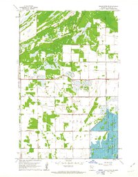
1961 · Middle River NE
USGS Topo · 1:24,000
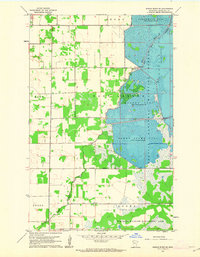
1961 · Middle River SE
USGS Topo · 1:24,000