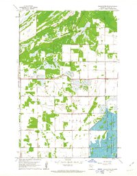
1961 Map of Middle River NE
USGS Topo · Published 1963About this map
The marshlands and drainage patterns of Marshall County define this 1961 topographic study, notably where the Agassiz National Wildlife Refuge occupies the southeastern corner. This protected landscape includes large water bodies like the Tamarack Pool and Northwest Pool, bounded by an engineered Spoil Bank that reflects mid-century water management efforts. Outside the refuge, the land is partitioned into survey townships including Como, Cedar, and Spruce, where the meandering Middle River cuts through an agricultural grid.
Find a feature on this map
18 named features on this map. Tap any name to fly to it.
Don’t see what you’re looking for? This feature index may not catch every label — zoom into the map to look around manually.
Map Details
Editions of this 1961 Middle River NE Map
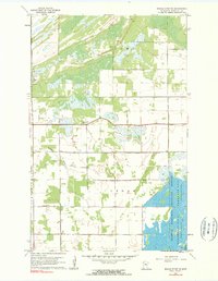
2 editions found
Other maps of this area

1918 · Rollis
USGS Topo · 1:62,500

1918 · Garland
USGS Topo · 1:62,500

1918 · Greenbush
USGS Topo · 1:62,500

1918 · Middle River
USGS Topo · 1:62,500

1943 · Rollis
USGS Topo · 1:62,500

1952 · Thief River Falls
USGS Topo · 1:250,000

1954 · Roseau
USGS Topo · 1:250,000

1956 · Thief River Falls
USGS Topo · 1:250,000

1957 · Roseau
USGS Topo · 1:250,000

1957 · Thief River Falls
USGS Topo · 1:250,000