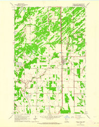
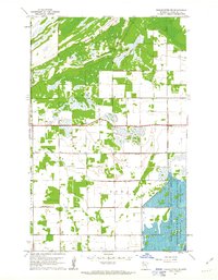
1962 Map of Middle River
USGS Topo · Published 1964About this map
The Great Northern railway forms a sharp north-south spine through this Marshall County landscape, anchoring the settlement of Middle River. This 1962 topography shows a transition between the organized agriculture of Spruce Valley and the more varied terrain of Huntly to the north. The winding course of the Middle River itself cuts through the township, providing a drainage network that likely influenced early homesteading and land use patterns.
Find a feature on this map
14 named features on this map. Tap any name to fly to it.
Don’t see what you’re looking for? This feature index may not catch every label — zoom into the map to look around manually.
Map Details
Editions of this 1962 Middle River Map
This is the sole edition of this map. No revisions or reprints were ever made.
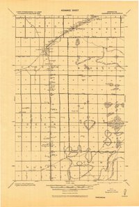
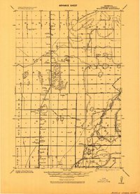
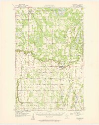
Other maps of this area
1918 · Greenbush
USGS Topo · 1:62,500
1918 · Middle River
USGS Topo · 1:62,500

1919 · Pelan
USGS Topo · 1:62,500

1952 · Thief River Falls
USGS Topo · 1:250,000

1956 · Thief River Falls
USGS Topo · 1:250,000

1957 · Thief River Falls
USGS Topo · 1:250,000
1957 · Newfolden
USGS Topo · 1:62,500

1957 · Pelan
USGS Topo · 1:62,500
1961 · Middle River NE
USGS Topo · 1:24,000
1961 · Middle River SE
USGS Topo · 1:24,000