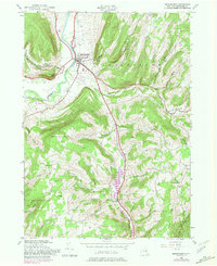
1944 Map of Middleburgh
USGS Topo · Published 1981About this map
Middleburgh sits at the heart of this mid-century landscape where Schoharie Creek carves through the Schoharie Valley. The terrain is defined by prominent landmarks such as the distinctive Vromans Nose and the steep enclosure of The Gorge. The settlement pattern reflects an era of established rural community life, marked by scattered schoolhouses like School No 6 and local congregations at East Hill Ch and Gates Hill Ch.
Find a feature on this map
35 named features on this map. Tap any name to fly to it.
Don’t see what you’re looking for? This feature index may not catch every label — zoom into the map to look around manually.
Map Details
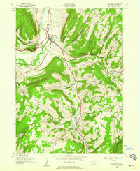
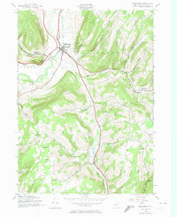
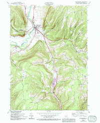
Editions of this 1944 Middleburgh Map
4 editions found
Other maps of this area

1893 · Durham
USGS Topo · 1:62,500

1894 · Durham
USGS Topo · 1:62,500

1898 · Schoharie
USGS Topo · 1:62,500

1900 · Schoharie
USGS Topo · 1:62,500

1900 · Schoharie
USGS Topo · 1:31,680

1900 · Berne
USGS Topo · 1:62,500

1901 · Gilboa
USGS Topo · 1:62,500

1903 · Gilboa
USGS Topo · 1:62,500

1903 · Berne
USGS Topo · 1:62,500

1943 · Cobleskill
USGS Topo · 1:24,000