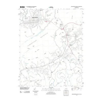
2010 Map of Middlesboro South
USGS Topo · Published 2010About this map
Cumberland Mountain forms the dramatic backbone of this border region, where Kentucky, Tennessee, and Virginia meet at Tri-State Peak. This terrain is defined by the historic passage at Cumberland Gap, now bypassable via the Cumberland Gap Tunnel. To the north, the city of Middlesboro occupies a circular basin, its streets organized near the Middlesboro-Bell County Airport and the waters of Yellow Creek.
Find a feature on this map
119 named features on this map. Tap any name to fly to it.
Don’t see what you’re looking for? This feature index may not catch every label — zoom into the map to look around manually.
Map Details
Editions of this 2010 Middlesboro South Map
This is the sole edition of this map. No revisions or reprints were ever made.
Other maps of this area

1886 · Cumberland Gap
USGS Topo · 1:125,000

1888 · Cumberland Gap
USGS Topo · 1:125,000

1891 · Cumberland Gap
USGS Topo · 1:125,000

1897 · Maynardville
USGS Topo · 1:125,000

1900 · Maynardville
USGS Topo · 1:125,000

1903 · Middlesboro
USGS Topo · 1:48,000

1927 · Middlesboro
USGS Topo · 1:62,500

1930 · Middlesboro
USGS Topo · 1:62,500

1935 · Varilla
USGS Topo · 1:24,000

1935 · Mingo Mountains
USGS Topo · 1:24,000