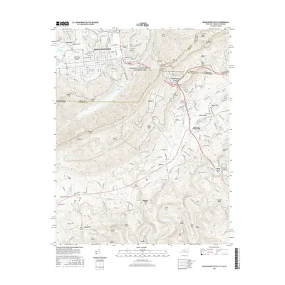
2016 Map of Middlesboro South
USGS Topo · Published 2016About this map
Cumberland Gap National Historical Park serves as the focal point for this multi-state region, where the borders of Kentucky, Tennessee, and Virginia converge at Tri-State Peak. The topography is dominated by the steep rise of Cumberland Mountain and the Tennessee Valley Divide, which separate the urban center of Middlesborough from the rolling terrain of Poor Valley to the south. Historically significant gaps like Cumberland Gap and Baptist Gap punctuate the ridges, marking traditional routes through this mountain barrier.
Find a feature on this map
91 named features on this map. Tap any name to fly to it.
Don’t see what you’re looking for? This feature index may not catch every label — zoom into the map to look around manually.
Map Details
Editions of this 2016 Middlesboro South Map
This is the sole edition of this map. No revisions or reprints were ever made.
Other maps of this area

1886 · Cumberland Gap
USGS Topo · 1:125,000

1888 · Cumberland Gap
USGS Topo · 1:125,000

1891 · Cumberland Gap
USGS Topo · 1:125,000

1897 · Maynardville
USGS Topo · 1:125,000

1900 · Maynardville
USGS Topo · 1:125,000

1903 · Middlesboro
USGS Topo · 1:48,000

1927 · Middlesboro
USGS Topo · 1:62,500

1930 · Middlesboro
USGS Topo · 1:62,500

1935 · Varilla
USGS Topo · 1:24,000

1935 · Mingo Mountains
USGS Topo · 1:24,000