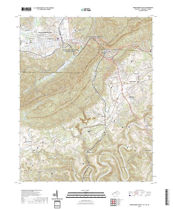
2022 Map of Middlesboro South
USGS Topo · Published 2022About this map
Cumberland Gap National Historical Park anchors this map at the triple point where Kentucky, Tennessee, and Virginia converge. The landscape is defined by the massive ridge of Cumberland Mountain, featuring the iconic Cumberland Gap and high points like The Pinnacle. In the valley below, the city of Middlesborough spreads across a circular basin, its street grid following avenues like W Cumberland Ave and Winchester Ave. To the south, the Powell River meanders through a landscape of family-named cemeteries and rural settlements. Genealogists may find value in the high density of small burial grounds, including the John Billingsley Cem, Hooper Cem, and McWilliams Cem. The presence of Lincoln Memorial University and the Middlesboro/Bell County Airport highlights the region's role as a modern educational and transit hub within a deeply historical topographical setting.
Find a feature on this map
231 named features on this map. Tap any name to fly to it.
Don’t see what you’re looking for? This feature index may not catch every label — zoom into the map to look around manually.
Map Details
Editions of this 2022 Middlesboro South Map
This is the sole edition of this map. No revisions or reprints were ever made.
Other maps of this area

1886 · Cumberland Gap
USGS Topo · 1:125,000

1888 · Cumberland Gap
USGS Topo · 1:125,000

1891 · Cumberland Gap
USGS Topo · 1:125,000

1897 · Maynardville
USGS Topo · 1:125,000

1900 · Maynardville
USGS Topo · 1:125,000

1903 · Middlesboro
USGS Topo · 1:48,000

1927 · Middlesboro
USGS Topo · 1:62,500

1930 · Middlesboro
USGS Topo · 1:62,500

1935 · Varilla
USGS Topo · 1:24,000

1935 · Mingo Mountains
USGS Topo · 1:24,000