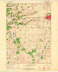
1962 Map of Middleton
USGS Topo · Published 1964About this map
The growing town of Middleton serves as the focal point of this early 1960s landscape, where two major rail lines intersect. The Chicago Milwaukee St Paul and Pacific cuts through the northern half, while the Chicago and North Western runs through the southwestern corner near Riley. The transition from town to rural farm country is marked by a high density of country schools like Gordon Sch and West Middleton Sch, and local landmarks such as Morey Airport and a prominent Drive-in Theater.
Find a feature on this map
49 named features on this map. Tap any name to fly to it.
Don’t see what you’re looking for? This feature index may not catch every label — zoom into the map to look around manually.
Map Details
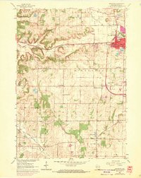
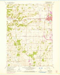
Editions of this 1962 Middleton Map
3 editions found
Other maps of this area

1889 · Evansville
USGS Topo · 1:62,500

1890 · Madison
USGS Topo · 1:62,500

1892 · Madison
USGS Topo · 1:62,500

1894 · Evansville
USGS Topo · 1:62,500

1904 · Madison
USGS Topo · 1:62,500

1906 · Evansville
USGS Topo · 1:62,500

1906 · Madison
USGS Topo · 1:62,500

1907 · Cross Plains
USGS Topo · 1:62,500

1909 · Cross Plains
USGS Topo · 1:62,500

1923 · New Glarus
USGS Topo · 1:62,500