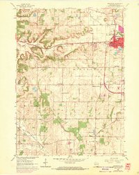
1962 Map of Middleton
USGS Topo · Published 1970About this map
Middleton and its surrounding townships reflect a landscape in transition during the early 1960s, where traditional rural life met emerging suburban expansion. The Chicago Milwaukee ST Paul And Pacific railroad cuts across the terrain, serving a region defined by scattered educational and religious landmarks such as West Middleton Sch and the Lutheran Ch. The western edges of the sheet maintain a rugged character near Richardson Cave and the headwaters of the Sugar River, while the northern area is marked by unique recreational and transit features like a Ski Jump and Morey Airport.
Find a feature on this map
46 named features on this map. Tap any name to fly to it.
Don’t see what you’re looking for? This feature index may not catch every label — zoom into the map to look around manually.
Map Details
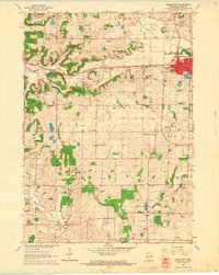
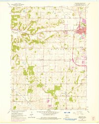
Editions of this 1962 Middleton Map
3 editions found
Other maps of this area

1889 · Evansville
USGS Topo · 1:62,500

1890 · Madison
USGS Topo · 1:62,500

1892 · Madison
USGS Topo · 1:62,500

1894 · Evansville
USGS Topo · 1:62,500

1904 · Madison
USGS Topo · 1:62,500

1906 · Evansville
USGS Topo · 1:62,500

1906 · Madison
USGS Topo · 1:62,500

1907 · Cross Plains
USGS Topo · 1:62,500

1909 · Cross Plains
USGS Topo · 1:62,500

1923 · New Glarus
USGS Topo · 1:62,500