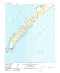
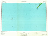
1955 Map of Middleton Island D-1 and D-2
USGS Topo · Published 1988About this map
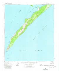
Kayak Island dominates this maritime survey, stretching southwest into the Pacific Ocean where it meets the Gulf of Alaska. This remote coastal landscape is defined by its dramatic elevation changes, rising from expansive tidal flats to the high point of Pyramid Peak. The southern tip of the island is marked by the Cape St Elias Lighthouse Preserve, a critical navigational landmark situated at Cape St Elias.
Find a feature on this map
15 named features on this map. Tap any name to fly to it.
Don’t see what you’re looking for? This feature index may not catch every label — zoom into the map to look around manually.
Map Details
Editions of this 1955 Middleton Island D-1 and D-2 Map
3 editions found
Other maps of this area

1948 · Cordova
USGS Topo · 1:250,000

1948 · Middleton Island
USGS Topo · 1:250,000

1950 · Middleton Island
USGS Topo · 1:250,000

1950 · Cordova A-1
USGS Topo · 1:63,360

1950 · Cordova A-2
USGS Topo · 1:63,360

1951 · Cordova
USGS Topo · 1:250,000

1953 · Cordova A-2
USGS Topo · 1:63,360
1953 · Cordova A-1
USGS Topo · 1:63,360
1955 · Middleton Island D-1 and D-2
USGS Topo · 1:63,360
1955 · Middleton Island
USGS Topo · 1:250,000