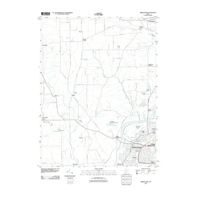
2010 Map of Middletown
USGS Topo · Published 2010About this map
The Great Miami River flows along the eastern edge of this landscape, separating the residential expansion of Middletown from the rural reaches to the west. This period shows a complex network of neighborhoods including Upper Arlington, Oakland, and South Highlands, while the Hook Field Municipal Airport and the Middletown Post Office anchor the city’s central infrastructure. Beyond the urban grid, the terrain is defined by smaller agricultural hubs and legacy sites such as Mudlick Mill and the crossroads at Jacksonburg. Genealogists will find a high concentration of burial grounds, from the Catholic Cemetery and Middletown Cemetery in town to rural plots like Astoria Cemetery and the Old Jacksonburg Cemetery. Water management is prominent throughout the county, seen in the several impoundments such as the Middletown Sportsmen Club Dam and Guffey Lake Dam, which shape the local creek system.
Find a feature on this map
89 named features on this map. Tap any name to fly to it.
Don’t see what you’re looking for? This feature index may not catch every label — zoom into the map to look around manually.
Map Details
Editions of this 2010 Middletown Map
This is the sole edition of this map. No revisions or reprints were ever made.
Other maps of this area

1904 · Mason
USGS Topo · 1:62,500

1906 · Mason
USGS Topo · 1:62,500

1908 · Miamisburg
USGS Topo · 1:62,500

1911 · Oxford
USGS Topo · 1:62,500

1915 · Hamilton
USGS Topo · 1:62,500

1917 · Hamilton
USGS Topo · 1:62,500

1951 · Franklin
USGS Topo · 1:24,000

1953 · Cincinnati
USGS Topo · 1:250,000

1955 · Monroe
USGS Topo · 1:24,000

1955 · Miamisburg
USGS Topo · 1:24,000