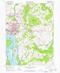
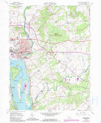
1963 Map of Middletown
USGS Topo · Published 1972About this map
Middletown serves as a dense riverside hub where the Susquehanna River meets Swatara Creek. This early 1960s perspective, with 1970s updates, captures the city during a significant period of industrial and military activity, featuring the expansive Olmsted Air Force Base along the riverbank. The river itself is dominated by a complex chain of islands, most notably Three Mile Island and Shelley Island, while the Pennsylvania Turnpike cuts across the landscape, signaling the era's growing dependence on highway infrastructure.
Find a feature on this map
75 named features on this map. Tap any name to fly to it.
Don’t see what you’re looking for? This feature index may not catch every label — zoom into the map to look around manually.
Map Details
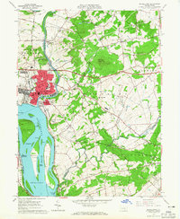
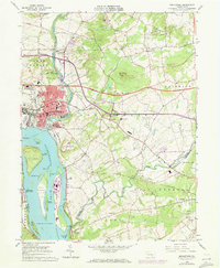
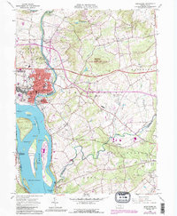
Editions of this 1963 Middletown Map
5 editions found
Other maps of this area

1892 · Hummelstown
USGS Topo · 1:62,500

1892 · Harrisburg
USGS Topo · 1:62,500

1899 · Harrisburg
USGS Topo · 1:62,500

1906 · New Cumberland
USGS Topo · 1:62,500

1908 · Middletown
USGS Topo · 1:62,500

1924 · Hummelstown
USGS Topo · 1:62,500

1924 · Harrisburg
USGS Topo · 1:62,500

1943 · New Cumberland
USGS Topo · 1:62,500

1943 · Middletown
USGS Topo · 1:62,500

1943 · Harrisburg
USGS Topo · 1:62,500