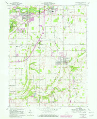
1960 Map of Middletown
USGS Topo · Published 1982About this map
Middletown serves as the focal point of this East Central Indiana landscape, where the confluence of agricultural roots and mid-century industrial growth is clearly visible. The survey details the convergence of Madison, Delaware, and Henry counties, capturing the White River as it passes by Chesterfield and the significant earthworks of Mounds State Park. Transportation corridors are well-defined, ranging from the historic Conrail rail lines to the Anderson Municipal Airport and the sprawling local Fair grounds.
Find a feature on this map
52 named features on this map. Tap any name to fly to it.
Don’t see what you’re looking for? This feature index may not catch every label — zoom into the map to look around manually.
Map Details
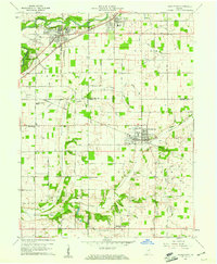
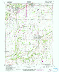
Editions of this 1960 Middletown Map
4 editions found

Other maps of this area

1949 · New Castle West
USGS Topo · 1:24,000

1952 · Muncie West
USGS Topo · 1:24,000

1952 · Anderson
USGS Topo · 1:24,000

1953 · Pendleton
USGS Topo · 1:24,000

1953 · Cincinnati
USGS Topo · 1:250,000

1953 · Muncie
USGS Topo · 1:250,000

1956 · Muncie
USGS Topo · 1:250,000

1957 · Cincinnati
USGS Topo · 1:250,000

1960 · Gilman
USGS Topo · 1:24,000

1960 · New Castle West
USGS Topo · 1:24,000