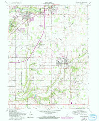
1960 Map of Middletown
USGS Topo · Published 1994About this map
Middletown stands as a primary hub of settlement in this region of eastern Indiana, characterized by a transition from the industrial and transportation corridors of the north to the more pastoral agricultural lands of the south. The upper boundary is defined by the White River and the ancient earthworks of Mounds State Park, while the Conrail line provides a critical rail link connecting Chesterfield and Daleville. The landscape is heavily marked by a network of drainage ditches and small runs like Painter Creek and Keesling Run, which supported the local farming economy.
Find a feature on this map
60 named features on this map. Tap any name to fly to it.
Don’t see what you’re looking for? This feature index may not catch every label — zoom into the map to look around manually.
Map Details
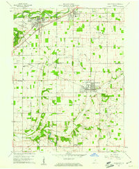
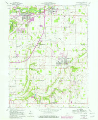
Editions of this 1960 Middletown Map
4 editions found

Other maps of this area

1949 · New Castle West
USGS Topo · 1:24,000

1952 · Muncie West
USGS Topo · 1:24,000

1952 · Anderson
USGS Topo · 1:24,000

1953 · Pendleton
USGS Topo · 1:24,000

1953 · Cincinnati
USGS Topo · 1:250,000

1953 · Muncie
USGS Topo · 1:250,000

1956 · Muncie
USGS Topo · 1:250,000

1957 · Cincinnati
USGS Topo · 1:250,000

1960 · Gilman
USGS Topo · 1:24,000

1960 · New Castle West
USGS Topo · 1:24,000