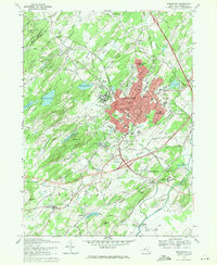
1969 Map of Middletown
USGS Topo · Published 1971About this map
Middletown stands as a significant regional hub on this 1969 survey, characterized by its dense urban center and the extensive grounds of the State Hospital. The city’s institutional landscape is further defined by Horton Hospital, St Alberts College, and the sprawling County Fairgrounds. To the west, the terrain rises toward Sayers Hill, while the Wallkill River meanders through the southeast, passing the settlement of Pellets Island. The transportation network is anchored by the Erie-Lackawanna railroad, which services outlying communities like Howells and New Hampton. This map captures a transition period where traditional agricultural areas in townships like Wawayanda and Wallkill exist alongside expanding residential developments in Washington Heights and East Middletown. Local landmarks such as Randall Airport and several historic burial grounds, including Hillside Cemetery, provide specific points of interest for local history researchers.
Find a feature on this map
66 named features on this map. Tap any name to fly to it.
Don’t see what you’re looking for? This feature index may not catch every label — zoom into the map to look around manually.
Map Details
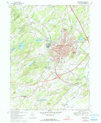
Editions of this 1969 Middletown Map
2 editions found
Other maps of this area

1904 · Ellenville
USGS Topo · 1:62,500

1906 · Ellenville
USGS Topo · 1:62,500

1906 · Port Jervis
USGS Topo · 1:62,500

1906 · Goshen
USGS Topo · 1:62,500

1908 · Goshen
USGS Topo · 1:62,500

1908 · Port Jervis
USGS Topo · 1:62,500

1909 · Monticello
USGS Topo · 1:62,500

1911 · Monticello
USGS Topo · 1:62,500

1938 · Goshen
USGS Topo · 1:62,500

1942 · Pine Island
USGS Topo · 1:24,000