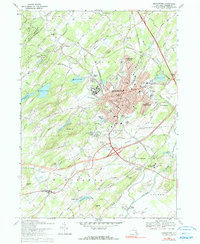
1969 Map of Middletown
USGS Topo · Published 1990About this map
Middletown stands as a bustling regional hub in central Orange County, shown here at a moment of significant mid-century expansion. The landscape is dominated by the sprawling complex of the State Hospital and the institutional grounds of St Alberts College and Horton Hospital. Transport networks define the era's development, with the Erie Lackawanna Railroad threading through the city center while a major modern Interchange 3 connects to the burgeoning outskirts. Outside the urban core, smaller settlements like Howells, New Hampton, and Slate Hill maintain their distinct identities amidst a network of family-named cemeteries and rural schools. Water bodies like Monhagen Lake and the winding Wallkill River frame the valley, while the presence of Randall Airport and the County Fairgrounds highlights the area's role as a civic and recreational center for the surrounding townships of Wawayanda and Goshen.
Find a feature on this map
70 named features on this map. Tap any name to fly to it.
Don’t see what you’re looking for? This feature index may not catch every label — zoom into the map to look around manually.
Map Details
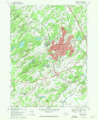
Editions of this 1969 Middletown Map
2 editions found
Other maps of this area

1904 · Ellenville
USGS Topo · 1:62,500

1906 · Ellenville
USGS Topo · 1:62,500

1906 · Port Jervis
USGS Topo · 1:62,500

1906 · Goshen
USGS Topo · 1:62,500

1908 · Goshen
USGS Topo · 1:62,500

1908 · Port Jervis
USGS Topo · 1:62,500

1909 · Monticello
USGS Topo · 1:62,500

1911 · Monticello
USGS Topo · 1:62,500

1938 · Goshen
USGS Topo · 1:62,500

1942 · Pine Island
USGS Topo · 1:24,000