
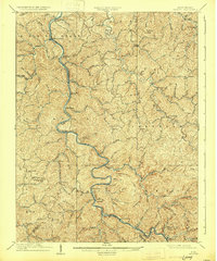
1909 Map of Midkiff
USGS Topo · Published 1909About this map
The Guyandot River carves a winding path through this central Lincoln County landscape, dictating the development of early 20th-century transportation and settlement. The Chesapeake and Ohio River Railway follows the tight river bends, serving a network of small river towns such as Sheridan, Branchland, and Midkiff. This 1907 survey captures the area before modern road networks dominated, showing a topography defined by complex ridge systems like Laurel Hill and numerous creek drainages such as Big Ugly Creek and Tenmile Creek.
Find a feature on this map
128 named features on this map. Tap any name to fly to it.
Don’t see what you’re looking for? This feature index may not catch every label — zoom into the map to look around manually.
Map Details
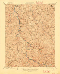
Editions of this 1909 Midkiff Map
3 editions found
Other maps of this area

1887 · Warfield
USGS Topo · 1:125,000

1891 · Oceana
USGS Topo · 1:125,000

1891 · Warfield
USGS Topo · 1:125,000

1892 · Huntington
USGS Topo · 1:125,000

1893 · Oceana
USGS Topo · 1:125,000

1898 · Huntington
USGS Topo · 1:125,000

1898 · Oceana
USGS Topo · 1:125,000

1899 · Charleston
USGS Topo · 1:125,000

1901 · Guyandot
USGS Topo · 1:62,500

1902 · Guyandot
USGS Topo · 1:62,500