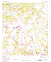
1969 Map of Midland City
USGS Topo · Published 1981About this map
Napier Field and Midland City anchor this landscape during a period of significant urban transition as the northern outskirts of Dothan begin to expand. The terrain is defined by the headwaters of several drainages, including the East Fork Choctawhatchee River and the winding course of McKays Mill Creek. Local life centers around a network of country churches like Mt Pleasant Ch, Mt Zion Ch, and Grimes Ch, alongside educational hubs like Wallace Jr College.
Find a feature on this map
50 named features on this map. Tap any name to fly to it.
Don’t see what you’re looking for? This feature index may not catch every label — zoom into the map to look around manually.
Map Details
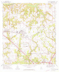
Editions of this 1969 Midland City Map
2 editions found
Other maps of this area

1942 · Enterprise
USGS Topo · 1:125,000

1948 · Ozark
USGS Topo · 1:62,500

1950 · Ozark
USGS Topo · 1:62,500

1953 · Dothan
USGS Topo · 1:250,000

1954 · Dothan
USGS Topo · 1:250,000

1955 · Dothan
USGS Topo · 1:250,000

1957 · Malvern
USGS Topo · 1:24,000

1957 · Hartford
USGS Topo · 1:62,500

1960 · Ewell
USGS Topo · 1:24,000

1960 · Pinckard
USGS Topo · 1:24,000