
1954 Map of Midland
USGS Topo · Published 1956About this map
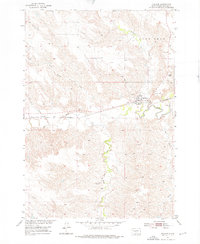
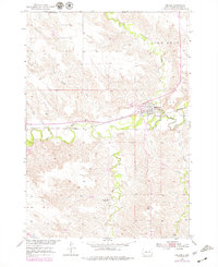
The Midland township is centered at the junction of the Bad River and Mitchell Creek, serving as a critical rail and transit point in Haakon County during the mid-1950s. The Chicago and North Western railroad parallels the river through the heart of town, passing the Midland Cemetery and local gravel pits. This survey reveals the transition of rural infrastructure in the Missouri River Basin, evidenced by the standing Eureka School in the north and the Center School (Abandoned) further south near Brave Bull Creek. The landscape is defined by its drainages, including Jack Dailey Creek and Ash Creek, while the prominent elevation of Lone Tree and the presence of a Town Well northwest of the settlement indicate the essential resources for this prairie community.
Find a feature on this map
16 named features on this map. Tap any name to fly to it.
Don’t see what you’re looking for? This feature index may not catch every label — zoom into the map to look around manually.
Map Details
Editions of this 1954 Midland Map
Other maps of this area

1953 · Belvidere NE
USGS Topo · 1:24,000

1954 · Nowlin
USGS Topo · 1:24,000

1954 · Midland SE
USGS Topo · 1:24,000

1954 · Pierre
USGS Topo · 1:250,000

1955 · Martin
USGS Topo · 1:250,000

1958 · Pierre
USGS Topo · 1:250,000

1958 · Martin
USGS Topo · 1:250,000

1972 · Stamford NW
USGS Topo · 1:24,000
1972 · Stamford
USGS Topo · 1:24,000

1980 · Kadoka
USGS Topo · 1:100,000