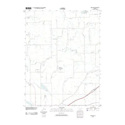
2010 Map of Midland
USGS Topo · Published 2010About this map
The settlement of Midland and the Kansas River corridor define this Kansas landscape just north of Lawrence. This 2010 topographic survey documents a transition between suburban expansion and the agricultural heritage of Douglas County. The Lawrence Municipal Airport occupies the flat floodplain north of the river, while the terrain to the north is carved by numerous watercourses including Mud Creek, Ninemile Creek, and Pony Creek. Local history is anchored by the Hardy Oak Cemetery in the northwestern corner, surrounded by a dense grid of rural roads like Wise Rd and State Ave. The presence of State Lake in the northeast reflects the region's managed water resources, providing a contrast to the naturally meandering path of Kent Creek. This map captures the modern layout of rural residential lanes and established section lines that have organized this territory for generations.
Find a feature on this map
63 named features on this map. Tap any name to fly to it.
Don’t see what you’re looking for? This feature index may not catch every label — zoom into the map to look around manually.
Map Details
Editions of this 2010 Midland Map
This is the sole edition of this map. No revisions or reprints were ever made.
Other maps of this area

1885 · Lawrence
USGS Topo · 1:125,000

1886 · Oskaloosa
USGS Topo · 1:125,000

1888 · Oskaloosa
USGS Topo · 1:125,000

1889 · Lawrence
USGS Topo · 1:125,000

1894 · Oskaloosa
USGS Topo · 1:125,000

1947 · Lawrence
USGS Topo · 1:250,000

1948 · Jarbalo
USGS Topo · 1:24,000

1949 · Williamstown
USGS Topo · 1:24,000

1950 · Kansas City
USGS Topo · 1:250,000

1950 · Williamstown
USGS Topo · 1:24,000