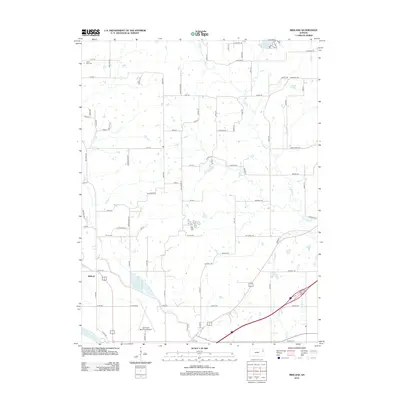
2012 Map of Midland
USGS Topo · Published 2012About this map
The settlement of Midland serves as a central point in this northern Douglas County landscape, situated just north of the Kansas River. The area is defined by its rural road network and several significant watercourses, including the winding path of Mud Cr and Ninemile Cr. To the northeast, State Lake provides a notable landmark, while the southern portion of the sheet is dominated by the Lawrence Municipal Airport, showing the intersection of local aviation and the surrounding countryside. Genealogists and local historians will find the Hardy Oak Cem in the northwestern corner, a small but vital link to the area's early family history. The terrain transitions from the river valley into upland fields partitioned by routes such as Union Rd and State Ave, reflecting the enduring agricultural and transportation patterns north of Lawrence.
Find a feature on this map
74 named features on this map. Tap any name to fly to it.
Don’t see what you’re looking for? This feature index may not catch every label — zoom into the map to look around manually.
Map Details
Editions of this 2012 Midland Map
This is the sole edition of this map. No revisions or reprints were ever made.
Other maps of this area

1885 · Lawrence
USGS Topo · 1:125,000

1886 · Oskaloosa
USGS Topo · 1:125,000

1888 · Oskaloosa
USGS Topo · 1:125,000

1889 · Lawrence
USGS Topo · 1:125,000

1894 · Oskaloosa
USGS Topo · 1:125,000

1947 · Lawrence
USGS Topo · 1:250,000

1948 · Jarbalo
USGS Topo · 1:24,000

1949 · Williamstown
USGS Topo · 1:24,000

1950 · Kansas City
USGS Topo · 1:250,000

1950 · Williamstown
USGS Topo · 1:24,000