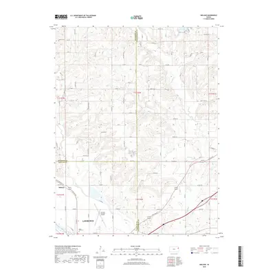
2018 Map of Midland
USGS Topo · Published 2018About this map
Lawrence sits at the southern edge of this landscape where the Kansas River valley meets the rolling uplands of Douglas, Jefferson, and Leavenworth counties. The river plains are anchored by the Lawrence Municipal Airport and the riparian corridor of Mud Cr, while the smaller settlement of Midland occupies a strategic position north of the main city center. This 2018 survey reveals a terrain defined by a dense grid of rural roads such as Wild Horse Rd and State Ave that service family homesteads and local landmarks like Maple Grove Cem. Further north, the elevation rises toward State Lake and the drainage basin of Ninemile Cr. The map illustrates the convergence of three counties, showing how modern infrastructure has integrated the historical agricultural tracts surrounding the Lawrence metropolitan area.
Find a feature on this map
83 named features on this map. Tap any name to fly to it.
Don’t see what you’re looking for? This feature index may not catch every label — zoom into the map to look around manually.
Map Details
Editions of this 2018 Midland Map
This is the sole edition of this map. No revisions or reprints were ever made.
Other maps of this area

1885 · Lawrence
USGS Topo · 1:125,000

1886 · Oskaloosa
USGS Topo · 1:125,000

1888 · Oskaloosa
USGS Topo · 1:125,000

1889 · Lawrence
USGS Topo · 1:125,000

1894 · Oskaloosa
USGS Topo · 1:125,000

1947 · Lawrence
USGS Topo · 1:250,000

1948 · Jarbalo
USGS Topo · 1:24,000

1949 · Williamstown
USGS Topo · 1:24,000

1950 · Kansas City
USGS Topo · 1:250,000

1950 · Williamstown
USGS Topo · 1:24,000