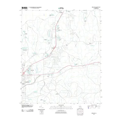
2011 Map of Midland
USGS Topo · Published 2011About this map
Midland and its surrounding communities in eastern Muscogee County are defined by a complex network of small lakes and water management structures. The landscape is heavily dissected by Bull Creek and Dozier Creek, which feed into numerous named reservoirs such as Faulkner Lake, Jenkins Lake, and the Britton Ponds. These water bodies are often associated with private or municipal engineering, including the Stonewall Jackson Dam and several Bull Creek Watershed structures.
Find a feature on this map
79 named features on this map. Tap any name to fly to it.
Don’t see what you’re looking for? This feature index may not catch every label — zoom into the map to look around manually.
Map Details
Editions of this 2011 Midland Map
This is the sole edition of this map. No revisions or reprints were ever made.
Other maps of this area

1907 · Talbotton
USGS Topo · 1:125,000

1908 · Columbus
USGS Topo · 1:62,500

1929 · Columbus
USGS Topo · 1:48,000

1947 · Columbus
USGS Topo · 1:62,500

1949 · Midland
USGS Topo · 1:24,000

1949 · Upatoi
USGS Topo · 1:24,000

1949 · Ochillee
USGS Topo · 1:24,000

1949 · Buena Vista NW
USGS Topo · 1:24,000

1949 · Columbus
USGS Topo · 1:24,000

1950 · Fortson
USGS Topo · 1:24,000