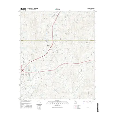
2017 Map of Midland
USGS Topo · Published 2017About this map
Columbus and the settlement of Midland occupy the heart of this landscape along the border of Muscogee and Harris Counties. The map reveals a highly developed network of residential expansion and local infrastructure, characterized by a series of man-made lakes and reservoirs designed for water management and recreation. Significant among these are Bull Creek Reservoir Number One and Bull Creek Watershed Lake Number 24, which anchor the drainage patterns near Schatulga and the Columbus Division.
Find a feature on this map
122 named features on this map. Tap any name to fly to it.
Don’t see what you’re looking for? This feature index may not catch every label — zoom into the map to look around manually.
Map Details
Editions of this 2017 Midland Map
This is the sole edition of this map. No revisions or reprints were ever made.
Other maps of this area

1907 · Talbotton
USGS Topo · 1:125,000

1908 · Columbus
USGS Topo · 1:62,500

1929 · Columbus
USGS Topo · 1:48,000

1947 · Columbus
USGS Topo · 1:62,500

1949 · Midland
USGS Topo · 1:24,000

1949 · Upatoi
USGS Topo · 1:24,000

1949 · Ochillee
USGS Topo · 1:24,000

1949 · Buena Vista NW
USGS Topo · 1:24,000

1949 · Columbus
USGS Topo · 1:24,000

1950 · Fortson
USGS Topo · 1:24,000