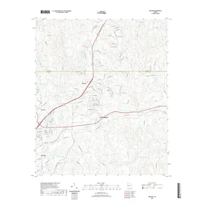
2020 Map of Midland
USGS Topo · Published 2020About this map
Midland and the expanding suburbs of northeast Columbus occupy a landscape characterized by an intricate network of small lakes and family cemeteries. This 2020 edition reveals the contemporary intersection of Muscogee and Harris counties, where long-standing landmarks like Jenkin Cem and Russel Cem sit amidst newer residential developments. The area is defined by its water features, ranging from the headwaters of Bull Creek to named impoundments such as Spring Head Lake, Mahaffey Lake, and Lake Pines.
Find a feature on this map
124 named features on this map. Tap any name to fly to it.
Don’t see what you’re looking for? This feature index may not catch every label — zoom into the map to look around manually.
Map Details
Editions of this 2020 Midland Map
This is the sole edition of this map. No revisions or reprints were ever made.
Other maps of this area

1907 · Talbotton
USGS Topo · 1:125,000

1908 · Columbus
USGS Topo · 1:62,500

1929 · Columbus
USGS Topo · 1:48,000

1947 · Columbus
USGS Topo · 1:62,500

1949 · Midland
USGS Topo · 1:24,000

1949 · Upatoi
USGS Topo · 1:24,000

1949 · Ochillee
USGS Topo · 1:24,000

1949 · Buena Vista NW
USGS Topo · 1:24,000

1949 · Columbus
USGS Topo · 1:24,000

1950 · Fortson
USGS Topo · 1:24,000