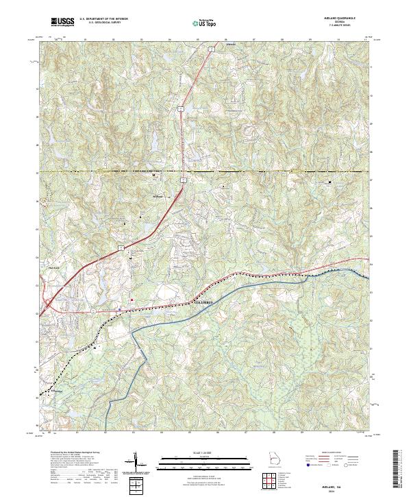
2024 Map of Midland
USGS Topo · Published 2024About this map
The northern reaches of Columbus and the neighboring community of Midland occupy a landscape characterized by a transition from the rolling hills along the Harris Co Muscogee Co line to the northern edge of the Fort Benning military installation. This modern survey illustrates the suburban expansion around Schatulga and Ellerslie, while preserving the locations of numerous historic small-family and congregational burial grounds. Notable sites include the Hill Missionary Baptist Church Cem and Pitts Chapel AME Church Cem, which reflect the long-standing community foundations in this part of Georgia. The terrain is deeply carved by waterways such as Bull Creek and Dozier Creek, which feed into an extensive system of private and community lakes like Fieldcrest Lake and Cunningham Lake, highlighting the area's development around managed water resources and residential tracts.
Find a feature on this map
124 named features on this map. Tap any name to fly to it.
Don’t see what you’re looking for? This feature index may not catch every label — zoom into the map to look around manually.
Map Details
Editions of this 2024 Midland Map
This is the sole edition of this map. No revisions or reprints were ever made.
Other maps of this area

1907 · Talbotton
USGS Topo · 1:125,000

1908 · Columbus
USGS Topo · 1:62,500

1929 · Columbus
USGS Topo · 1:48,000

1947 · Columbus
USGS Topo · 1:62,500

1949 · Midland
USGS Topo · 1:24,000

1949 · Upatoi
USGS Topo · 1:24,000

1949 · Ochillee
USGS Topo · 1:24,000

1949 · Buena Vista NW
USGS Topo · 1:24,000

1949 · Columbus
USGS Topo · 1:24,000

1950 · Fortson
USGS Topo · 1:24,000