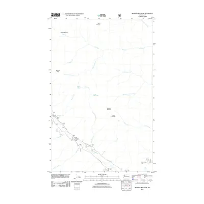
2011 Map of Midnight Mountain
USGS Topo · Published 2011About this map
Midnight Mountain and the surrounding high country of Okanogan County are defined by a complex drainage system and sharp elevation changes in the early 21st century. The Twisp River cuts through the southern portion of the terrain, paralleled by Twisp River Rd and punctuated by recreational spots like Poplar Flat Campground and Mystery Campground. This landscape is marked by the convergence of several major creek systems, including Wolf Creek, Little Bridge Creek, and Little Slate Creek, which feed into the area's alpine lakes such as Slate Lake and Little Slate Lake. To the north, Gardner Meadows and Milton Mountain indicate a shift toward higher, open terrain. The mapping of Nat For Dev Rd 4440 and other forest development roads provides a record of the infrastructure supporting both resource management and public access within this part of the Cascades.
Find a feature on this map
28 named features on this map. Tap any name to fly to it.
Don’t see what you’re looking for? This feature index may not catch every label — zoom into the map to look around manually.
Map Details
Editions of this 2011 Midnight Mountain Map
This is the sole edition of this map. No revisions or reprints were ever made.
Other maps of this area

1899 · Methow
USGS Topo · 1:125,000

1901 · Methow
USGS Topo · 1:125,000

1902 · Stehekin
USGS Topo · 1:125,000

1904 · Stehekin
USGS Topo · 1:125,000

1920 · Slate Pass
USGS Topo · 1:125,000

1955 · Concrete
USGS Topo · 1:250,000

1958 · Concrete
USGS Topo · 1:250,000

1962 · Concrete
USGS Topo · 1:250,000

1962 · Mazama
USGS Topo · 1:62,500

1963 · Silver Star Mtn.
USGS Topo · 1:24,000