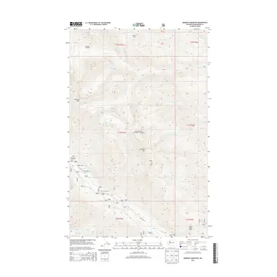
2014 Map of Midnight Mountain
USGS Topo · Published 2014About this map
Okanogan National Forest covers this high-altitude landscape in Washington, characterized by a complex network of glacial cirques and steep drainages. The area is defined by massive landforms such as Abernathy Ridge and Canyon Creek Ridge, which divide the watersheds of the Twisp River and Wolf Cr. High-elevation water bodies like Slate Lake and Little Slate Lake sit tucked below peaks including Midnight Mtn and Three AM Mtn. The map highlights the primitive infrastructure of the forest, showing access points like Poplar Flats and Gardner Meadows. Transport is limited to forest arteries such as Twisp River Rd and Nat For Dev Rd 4440, reflecting a landscape managed for wilderness and timber rather than settlement.
Find a feature on this map
32 named features on this map. Tap any name to fly to it.
Don’t see what you’re looking for? This feature index may not catch every label — zoom into the map to look around manually.
Map Details
Editions of this 2014 Midnight Mountain Map
This is the sole edition of this map. No revisions or reprints were ever made.
Other maps of this area

1899 · Methow
USGS Topo · 1:125,000

1901 · Methow
USGS Topo · 1:125,000

1902 · Stehekin
USGS Topo · 1:125,000

1904 · Stehekin
USGS Topo · 1:125,000

1920 · Slate Pass
USGS Topo · 1:125,000

1955 · Concrete
USGS Topo · 1:250,000

1958 · Concrete
USGS Topo · 1:250,000

1962 · Concrete
USGS Topo · 1:250,000

1962 · Mazama
USGS Topo · 1:62,500

1963 · Silver Star Mtn.
USGS Topo · 1:24,000