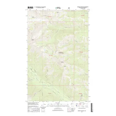
2017 Map of Midnight Mountain
USGS Topo · Published 2017About this map
Midnight Mountain rises as a central landmark within this portion of the Okanogan National Forest, where steep ridgelines and narrow river valleys define the landscape. The Twisp River cuts through the southern reaches of the quadrangle, flanked by seasonal settlements such as Poplar Flats and high-elevation grazing grounds like Gardner Meadows. This terrain is characterized by a complex drainage network where Wolf Creek and its many forks meet with the Little Bridge Cr, creating a remote environment accessible primarily via forest service roads like Nat For Dev Rd 4440.
Find a feature on this map
82 named features on this map. Tap any name to fly to it.
Don’t see what you’re looking for? This feature index may not catch every label — zoom into the map to look around manually.
Map Details
Editions of this 2017 Midnight Mountain Map
This is the sole edition of this map. No revisions or reprints were ever made.
Other maps of this area

1899 · Methow
USGS Topo · 1:125,000

1901 · Methow
USGS Topo · 1:125,000

1902 · Stehekin
USGS Topo · 1:125,000

1904 · Stehekin
USGS Topo · 1:125,000

1920 · Slate Pass
USGS Topo · 1:125,000

1955 · Concrete
USGS Topo · 1:250,000

1958 · Concrete
USGS Topo · 1:250,000

1962 · Concrete
USGS Topo · 1:250,000

1962 · Mazama
USGS Topo · 1:62,500

1963 · Silver Star Mtn.
USGS Topo · 1:24,000